
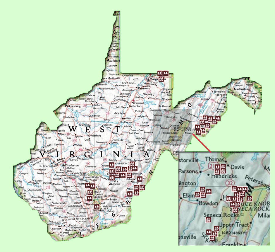
Interactive Map: Click on a Hiker Icon to go directly to a hike.
| Link | Park/Forest | Miles | Difficulty | GPS | Elevation Gain (feet) |
| Pond Run-Racer Camp Hollow/White Rocks Loop | George Washington National Forest (Great North Mt) | 10.8 - 11.6 | S | Y | 2335 |
| White Rocks Circuit | George Washington National Forest (Great North Mt) | 8.7 | M | N | 1865 |
| Long Mountain/Tibbet Knob Shuttle | George Washington National Forest (Great North Mt) | 13.3 | S | N | 2376 |
| Bucktail Trail-Halfmoon Lookout Loop | George Washington National Forest (Great North Mt) | 9.7 | M | Y | 2036 |
| Long Mountain Loop w/Bushwhack | George Washington National Forest (Great North Mt) | 9.0 | M | Y | 1951 |
| Trout Pond Loop | George Washington National Forest (Great North Mt) | 4.0 | E | Y | 647 |
| Long Mountain-Trout Pond Loop | George Washington National Forest (Great North Mt) | 8.7 - 10.7 | M | Y | 1743 |
| Trout Run Valley Circumnavigation | George Washington National Forest (Great North Mt) | 27 | S | Y | 4498 |
| Coopers Rock SF Loop-1 | Coopers Rock SF | 7.7-11.2 | S | Y | 1935 |
| Scott Run Loop | Coopers Rock SF | 6.8 | E | Y | 880 |
| Coopers Rock-North Circuit | Coopers Rock SF | 10.5 | M | Y | 1019 |
| Blackwater Falls SP/Canaan Mountain Loop | Monongahela National Forest | 9.5 | M | N | 934 |
| Canaan Mountain Grand Circuit | Monongahela National Forest | 15.4 | M | N | 1309 |
| Plantation Trail/CLR13 Loop | Monongahela National Forest | 12.4 | M | N | 673 |
| Canaan Mountain Backpack | Monongahela National Forest | 23 | M | Y | 2449 |
| Canaan Mountain BP - 2 | Monongahela National Forest | 29.3 | M | Y | 3739 |
| Otter Creek Backpack | Monongahela National Forest | 12.8 - 15.9 | M | Y | 2807 |
| Otter Creek-SW | Monongahela National Forest | 13.8-23.5 | M | Y | 2939 max |
| Otter Creek - NW | Monongahela National Forest | 11.7 | M | N | 1994 |
| Otter Creek - SE | Monongahela National Forest | 8.9 - 14.0 | M | N | 1108 |
| Allegheny Trail Shuttle | Monongahela National Forest | 8.2 | M | N | 689 |
| Laurel Fork Wilderness - Allegheny Tr Shuttle/Loop | Monongahela National Forest | 27.2 - 30.0 | M | Y | 2063 |
| North Fork Mountain Shuttle | Monongahela National Forest | 9.9 | S | Y | 1995 |
| Red Creek/Dunkenbarger Loop | Monongahela National Forest | 10+ | M | N | 1855 |
| Red Creek/Big Stonecoal Circuit | Monongahela National Forest | 10.4 | M | N | 1992 |
| Dolly Sods Wilderness Backpack | Monongahela National Forest | 15+ | S | N | 1885 |
| Rohrbaugh Plains/Dolly Sods Shuttle | Monongahela National Forest | 10 | M | Y | 1446 |
| Dolly Sods Central | Monongahela National Forest | 10.6 | M | Y | 1516 |
| Dolly Sods North Circuit Hike | Monongahela National Forest | 10.6 | M | N | 1017 |
| Dolly Sods North BP | Monongahela National Forest | 15 | M | Y | 1787 |
| Dolly Sods Circumnavigation | Monongahela National Forest | 22.8-25.4 | M | Y | 2943 |
| Dolly Sods Circumnavigation - mod 1 | Monongahela National Forest | 24.0 | M | Y | 2650 |
| Dolly Sods Trans-Navigation | Monongahela National Forest | 15.9 | M | Y | 2092 |
| South Prong Trail | Monongahela National Forest | 6.8 | M | N | 1167 |
| Roaring Plains Circuit | Monongahela National Forest | 12.7+ | S | Y | 2321 |
| Roaring Plains Base Camp and Day Hike | Monongahela National Forest | 4.6+11.3 | S | Y | 1101 |
| Lumberjack Tr/Seneca Creek Loop | Monongahela National Forest | 10.7 | M | N | 996 |
| Allegheny Mountain-Seneca Creek Loop | Monongahela National Forest | 12.7 | M | N | 1756 |
| Spruce Knob/Seneca Creek Backpack | Monongahela National Forest | 14.1 | M | Y | 2097 |
| Big Run-Seneca Creek-Lost Meadow Backpack | Monongahela National Forest | 24.6 | M | Y | 3364 |
| Tea Creek/Tea Creek Mt Loop | Monongahela National Forest | 11.3 | M | Y | 1863 |
| Tea Creek Backpack | Monongahela National Forest | 16+ | S | N | 2761 |
| Tea Creek/Turkey Ridge Loop | Monongahela National Forest | 10.8 | M | Y | 1710 |
| Cranberry Wilderness1-BP | Monongahela National Forest | 24-27 | M | Y | 2932 |
| Big Beechy - Middle Fork Loop | Monongahela National Forest | 16.7 | M | Y | 2087 |
| Little Fork - Middle Fork Loop | Monongahela National Forest | 12.9 | M | Y | 1676 |
| Cranberry Backcountry Backpack | Monongahela National Forest | 18.1 | M | Y | 2368 |
| Pocahontas-Cowpasture Loop | Monongahela National Forest | 13.4 | M | Y | 1599 |
| Frosty Gap-Pocahontas Loop | Monongahela National Forest | 15.5 | M | Y | 1850 |
| Pocahontas - Fork Mountain Backpack | Monongahela National Forest | 32.7 | S | Y | 4370 |
| Frosty Gap-Cowpasture Backpack | Monongahela National Forest | 25.4 | M | Y | 2904 |
| Lake Sherwood/Allegheny Mt Loop | Monongahela National Forest | 10.9 | M | N | 1241 |
| Lake Sherwood Loop-2 | Monongahela National Forest | 12.5 | M | Y | 1303 |
| Watoga State Park Wilderness Adventure | Watoga State Park | 9.3 | M | Y | 130 |
| Allegheny Trail-South Backpack | Monongahela National Forest | 29.0 | S | Y | 5,000 |
| Big Draft Wilderness Shuttle | Monongahela National Forest | 9.9 | M | Y | 1691 |
| Endless Wall Shuttle | New River Gorge National River | 2.5 | E | Y | 269 |
| Fayetteville-Kaymoor Loop | New River Gorge National River | 8.5 - 12 | M | Y | 2293 |
| Glade Creek Out-and-Back | New River Gorge National River | 8.9 | E | Y | 767 |
| Canyon Rim Trail Out-and-Back | New River Gorge National River | 3.6 | E | Y | 688 |
| Sandstone Falls Hike | New River Gorge National River | 1.4 | E | N | N/A |
![]()
![]()
![]()
![]()
![]()