| Scotts Run Loop |
|
|
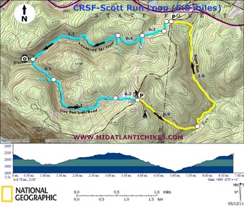
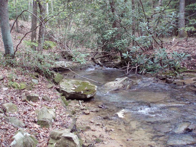
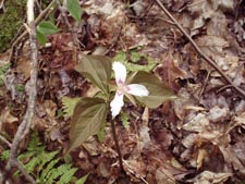
Description: The �ultimate� Coopers Rock trek is described in the Coopers Rock SF Loop-1 hike. This is not to say there are not other fine trails to hike in the forest. If you seek more solitude this is the hike for you. Described here is an easy 6.8 mile loop mostly through mature hardwood forest with pretty streams and glens of Hemlock and Rhododendron. In May keep an eye out for clusters of Painted Trillium growing on the tops of moss covered boulders.
|
|
________________________________________ |
|
Zipped National Geographic TOPO! GPS and Universal GPS Files |
Trail Notes: There are two places to park for this hike. We wanted to see Scott Run from the bottom up so started at the parking area across from the McCollum Campground entrance. All trail junctions are signed. Only the Scott Run Trail carries painted blazes (yellow). All trails are easy to follow.
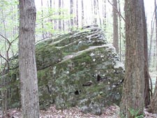
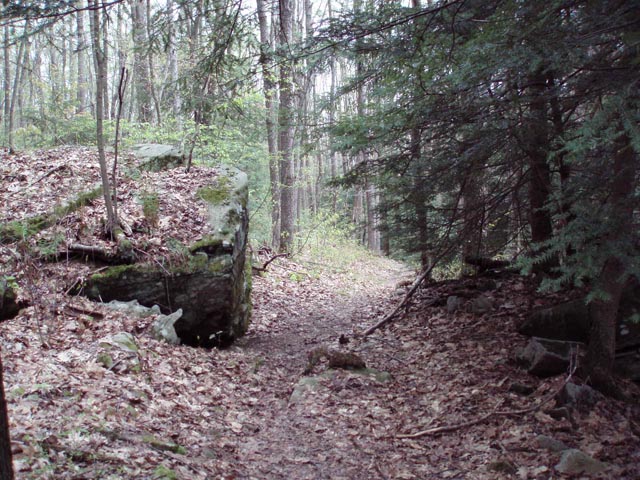
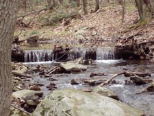
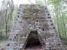
From the parking area proceed down the campground drive. Turn left onto the Scott Run Trail just before the gate. The trail is a wide haul rode surrounded by towering oak and maple with giant moss covered boulders cast about the forest floor. In 0.9 miles the trail makes an abrupt 90 degree left hand turn. To get your first view of Scott Run follow the old haul road a few more feet to the stream�s edge. As you continue on the trail you will remain within earshot of the stream and often times within eyesight. You�ll walk through some Hemlocks and a small stand of out of place Red Spruce. Watch for the cliff edges to the left as you gradually ascend. In 1.8 miles the trail leaves the run and crosses the main forest road. Pass through the day use parking area and the kiosk on the left. Follow the Advanced Ski Trail. The Roadside trail will quickly join and then leave the route. Continue on the Ski Trail. Cross Henry Clay Furnace Road in 0.3 miles and begin a gradual descent on another old haul road. The Intermediate Ski Trail (blazed blue) splits off to the left shortly after crossing the road and rejoins the trail in another0.4 miles. Cross a tributary of Clay Run. Now you will be able to see and hear the stream below as it flows down through Hemlocks to join another fork. Reach the Henry Clay Furnace in 1.3 miles from the last trail junction. This is about as close to the halfway point as one can get and makes for a wonderful lunch spot. You can read about the Henry Clay furnace on the Coopers Rock SF-1 Loop link. |
|
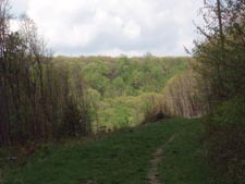
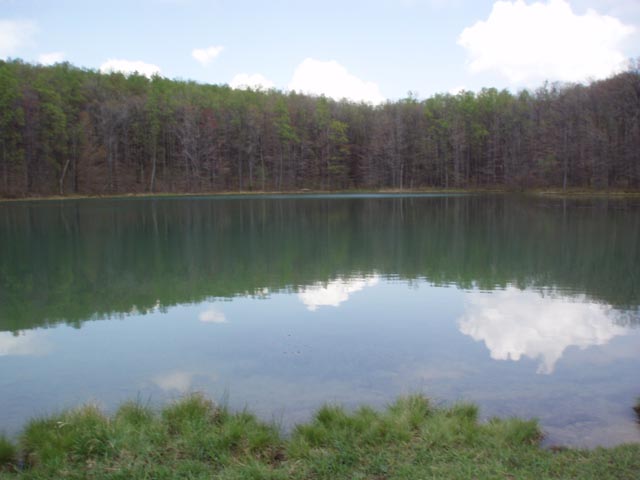
Resume the hike by taking the Clay Run trail/Road upstream. You�ll cross both forks of Clay Run on wooden bridges before arriving at an obvious grassy old haul road in 0.5 miles. There is no sign here. Turn left to continue. The road climbs gradually with hardwood forest on your left and Hemlock forest on your right. It then passes through a sunny area where a utility swath was recently widened to protect the power lines from outages. It does create a bit of a view across the valley if you take to time to look back. This persists only for 0.5 miles as the road leaves the power line for the deep woods. In 1.1 miles from the last trail junction arrive at the forest reservoir. The scene here is particularly attractive in the fall. Arrive back at your vehicle in 0.3 miles.
________________________________________
________________________________________ |
|
|