
| Lake Sherwood Loop-2 |
|
|
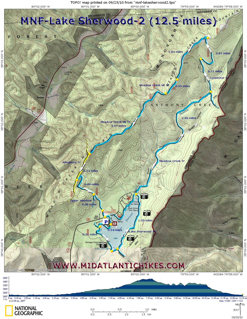
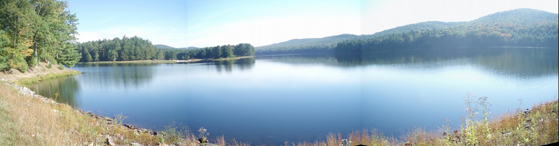
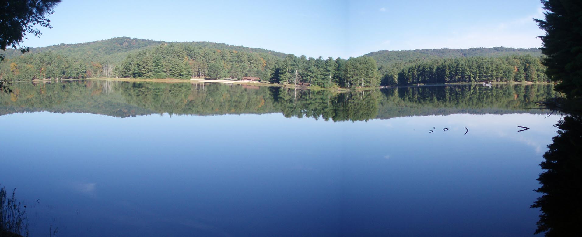
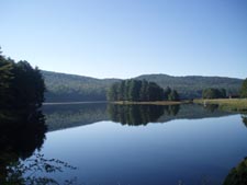
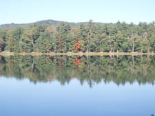
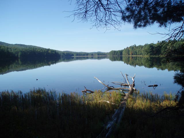
Description: This hike is the mirror image sister of the Lake Sherwood-Allegheny Mountain Loop found elsewhere on this site. The first five miles are identical. You�ll hike around the lake with constant views from under the tall pine trees and then climb through Rhododendron thickets as you cross Meadow Creek ten times on your way to the Connector trail. The Meadow Creek Mountain ridge walk is a gentle affair using grassy jeep roads whose passage alternates between open meadows and dense forest. The final leg is a rapid descent on yet another jeep road as you re-enter the Rhodos and pine of the valley. The total distance is 12.5 miles and the elevation gain is 1300 feet. From the intersection of WV Route 92 and County Road 14 turn onto CO 14 and follow it for 11 miles to Lake Sherwood Recreation Area. Turn right and park near the beach bath house to begin the hike.
The Allegheny Trail (ALT) and Lake Sherwood Trail are part of the Great Eastern Trail (GET). |
|
________________________________________ |
|
Zipped National Geographic TOPO! GPS and Universal GPS Files |
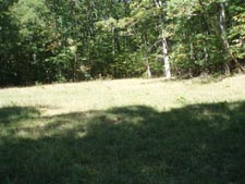
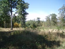
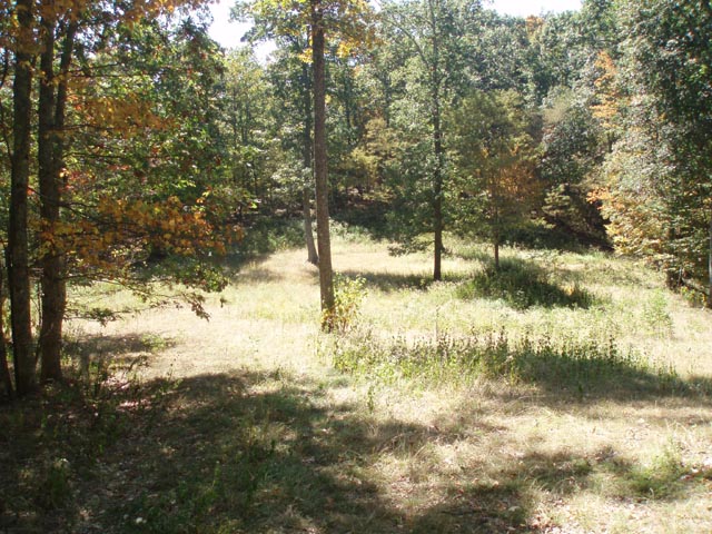
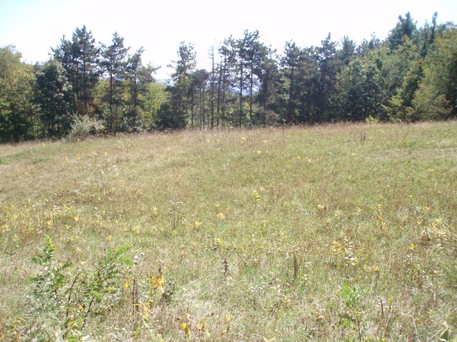
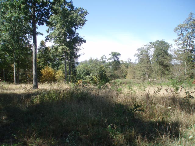
Trail Notes: Most trails are blazed blue. The Allegheny Trail is blazed yellow. From the bath house hike above the beach as you follow the shore on a mowed swath. In 0.34 miles a spur trail will come in from the right. Cross the breast of the dam and in 0.72 miles from the spur trail cross a bridge below the spillway. The trail continues to follow the shore but soon turns uphill to the junction with the Virginia Trail. Turn left here to stay on the Lake Sherwood Trail (Tr601). After 1.43 miles of constant views of the lake arrive at a bridge over Meadow Creek. Do not cross it but turn right onto the Meadow Creek Trail (Tr684). The next 2.9 miles is a gradual climb through dense Rhododendron and Mountain Laurel thickets. You�ll cross the stream via rock hops ten times before arriving at the junction with the Connector Trail (Tr604). Turn left and follow this jeep road for 0.71 miles. The trail will turn right at a marker and cross a small feeder for the creek. A grassy road goes off to the left but you want to continue straight on a double track road as it winds its way to the ridge of Meadow Creek Mountain for 0.81 miles. Make a hard left turn onto Meadow Creek Mountain Tr (Tr610) and pass through the first of several meadows. Be on the lookout for partial views of Allegheny Mountain to the east and Middle Mountain to the west. In 1.04 miles Fire Road 311 comes in from the right. Continue straight for 0.35 miles. Here FR 311 continues straight but you want to bear to the left, pass a forest gate onto yet another jeep road. For the next 2.07 miles the walk is generally down hill over gently rolling terrain. The meadows become less frequent, smaller and in the process of once again becoming forest as trees begin to reestablish themselves. At the end of this stretch arrive at a junction with the Allegheny Trail (Tr701-yellow blazes) straight ahead and to the right. Continue straight for 0.53 miles as the Meadow Creek Mnt Tr shares the path with the AT. Turn left onto the Upper Meadow Trail (Tr672), another jeep road, and switchback quickly towards the valley. In 0.80 miles the trail leaves the jeep trail to the right on a sketchy footpath. The reason for this is unknown at this time. Continue on the jeep road for 0.38 miles, pass a forest gate and arrive at the driveway for the group campsite. Turn right onto it and follow it out to CO14. From there turn left for a short distance to reach the day use area you parked at.
|
|
________________________________________
________________________________________ |
|
|


