|
Tea Creek/Turkey Ridge Loop |
|
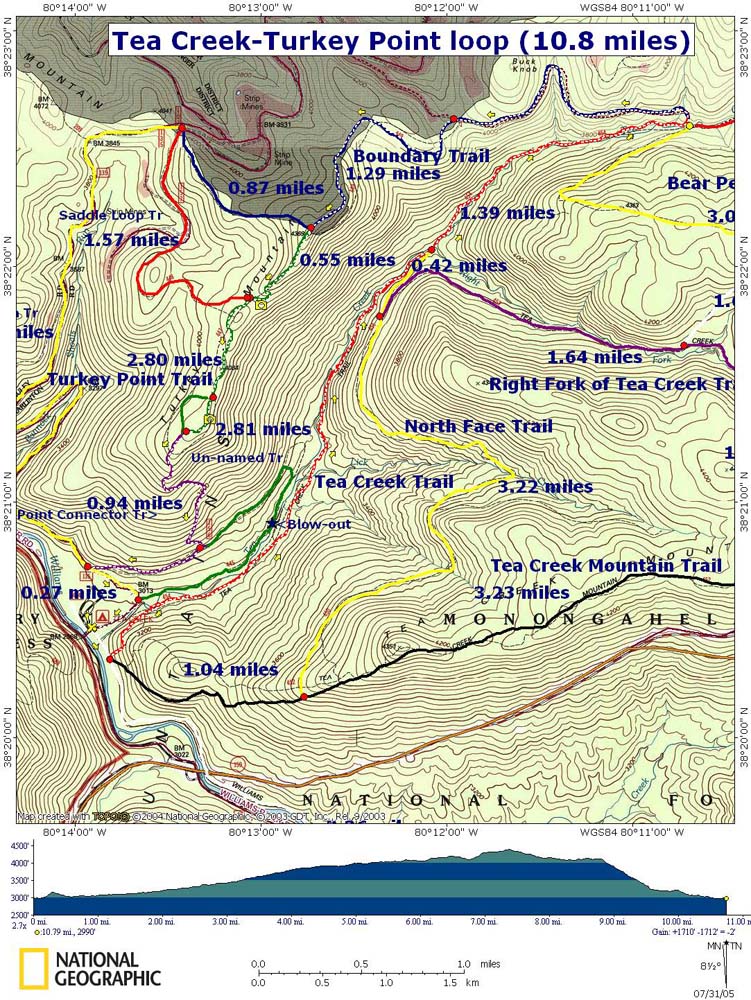
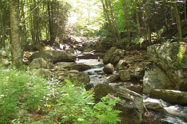
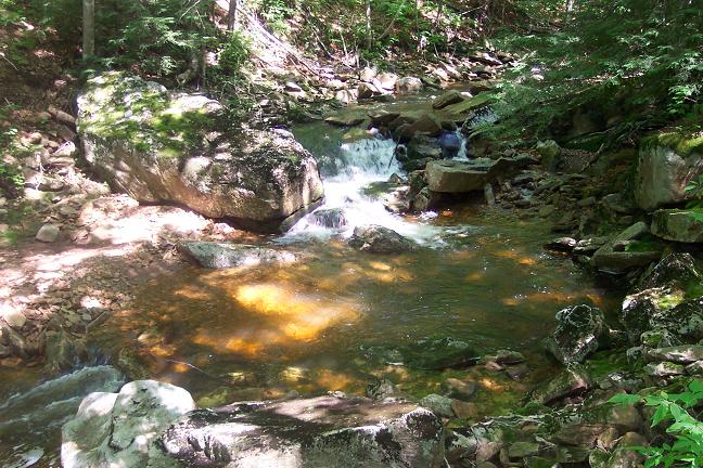
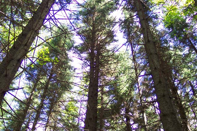
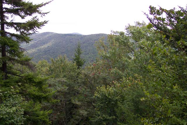
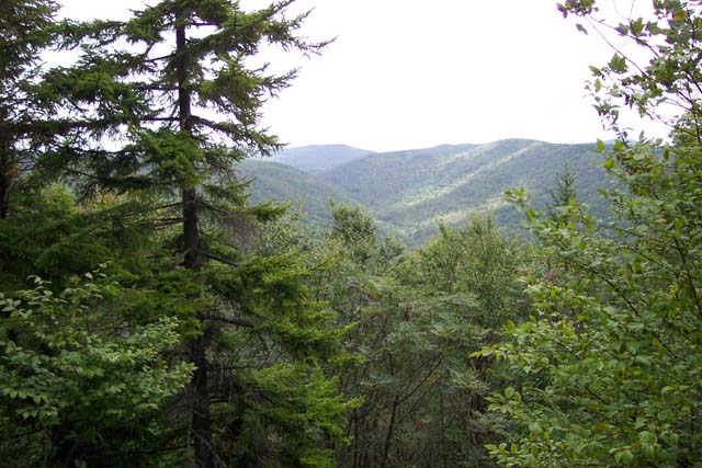
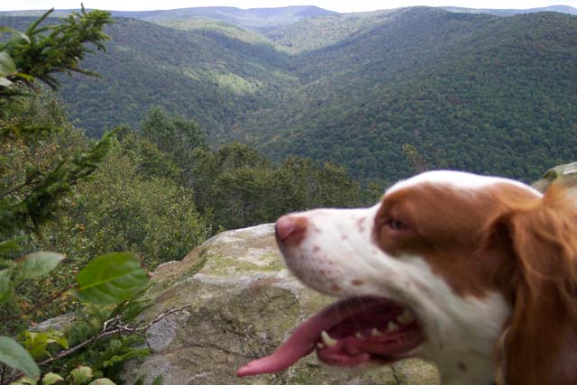
Description: This is a moderate 10.8 mile circuit with about 12 technically challenging (depending on water levels) creek crossings, a fantastic swimming hole the size of an Olympic swimming pool and a great view of the entire watershed from Turkey Point. You�ll walk through a mixture of deciduous trees, Hemlocks and mature Red Spruce with a rich understory of mosses, ferns and Rhododendron. During the summer months the canopy and fern base are so dense you�ll feel like you�re encapsulated in some kind of a geo sphere!
The hike begins at
the Kiosk in the small day use area to the right of the water
pump in Tea Creek Campground. |
|
________________________________________ |
Zipped National Geographic. TOPO! GPS and Universal GPX Files |
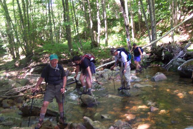
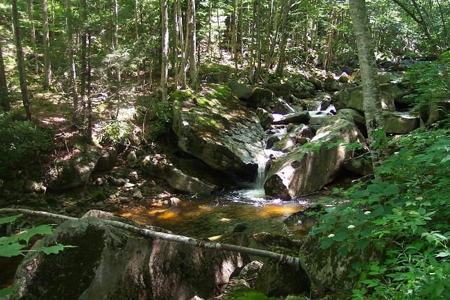
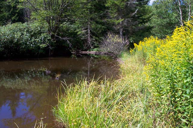
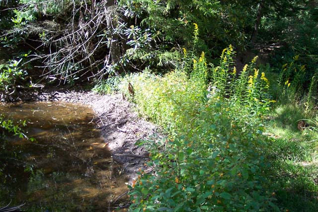
Trail Notes: Most trails are signed although bears like to remove them from time to time. Blazes are blue plastic or metal diamonds. From the Kiosk, travel east on the Williams River Trail, crossing Tea Creek. Ignore the trail on the left immediately on the other side of the bridge. In a few yards come to a trail on the left that climbs Tea Creek Mt. Turn here. This is Tea Creek Mt Tr (TR524). The sign is a few paces up the hill at the junction of Tea Creek Tr (TR454). Turn left onto Tea Creek Tr. You will first climb over a hill and then descend to a railroad grade that parallels the creek. Take the grade upstream for about 2.5 miles to the confluence of the Right Fork of Tea Creek. Here you will find an often badly abused Adirondack shelter and a great swimming hole.
From here,
cross the Right Fork and continue upstream on an extremely rocky
tread, crossing the creek several times as you go. At 1.47 miles
after leaving the confluence with the Right Fork arrive at the
junctions of Bear Pen Trail (right, TR440) and Boundary Trail (left,
TR449). Turn left onto Boundary Tr, cross Tea Creek for the last
time, and begin a gradual climb to the east ridge of Turkey Mt. The
trail is actually an old road.
Take care! At 1.44 miles from leaving
Tea Creek the old road continues west but the trail turns left, up a
hill, onto a footpath. The road may even be marked by cairns at this
point but you want to make sure you don�t travel on the road beyond
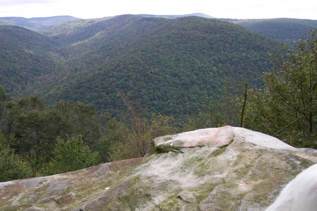
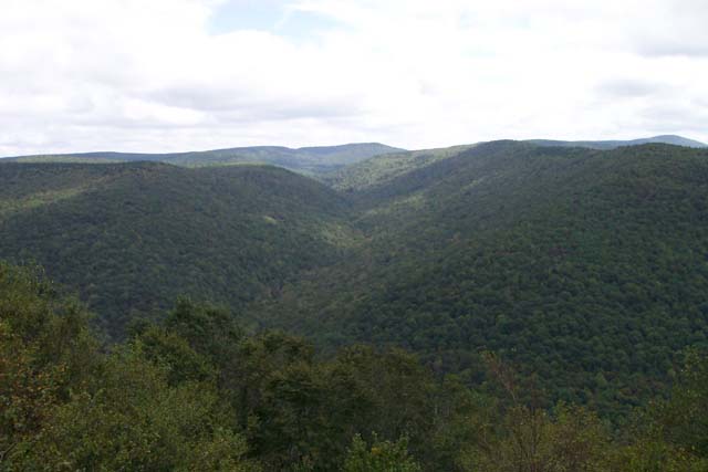
them. In another 1.18 miles the Boundary trail will turn west (right) at the junction of Turkey Point Tr (TR447). The sign may be missing! Bear to the left (south) onto Turkey Point Trail. At 0.58 miles from the last trail junction pass Saddle Loop Trail on the right. Again, the sign may be removed. Stay on Turkey Point Tr. In another 0.22 miles the trail splits. They rejoin on the other side of Turkey point. If you want to see a great view of the watershed take the trail to the left and look for breaks in the trees. If I remember correctly, the spot Joey and I found was either just before or just after the split. In another 0.58 miles you will rejoin the other section of the loop as it comes in from the right. From here on down I believe the trail is the un-numbered Turkey Point Connector TR but it |
|
might not be signed as such. Non-the-less, follow the blazes for another 1.61 miles as you descend steeply to Bannock Shoals Run Tr (TR446). Turn left and follow this old road back to the campground. You may notice a couple of old roads or trails to the left. These were part of the trail system before several floods in the 80s and early 90s required serious rerouting of Tea Creek Trail, which used to start on this side of the creek. Ignore them. In 0.47 miles from the last junction arrive back at Tea Creek Campground. Printable/Downloadable Directions and Trail Notes ________________________________________
________________________________________ |
|
|