| Watoga State Park Wilderness Adventure |
|
|
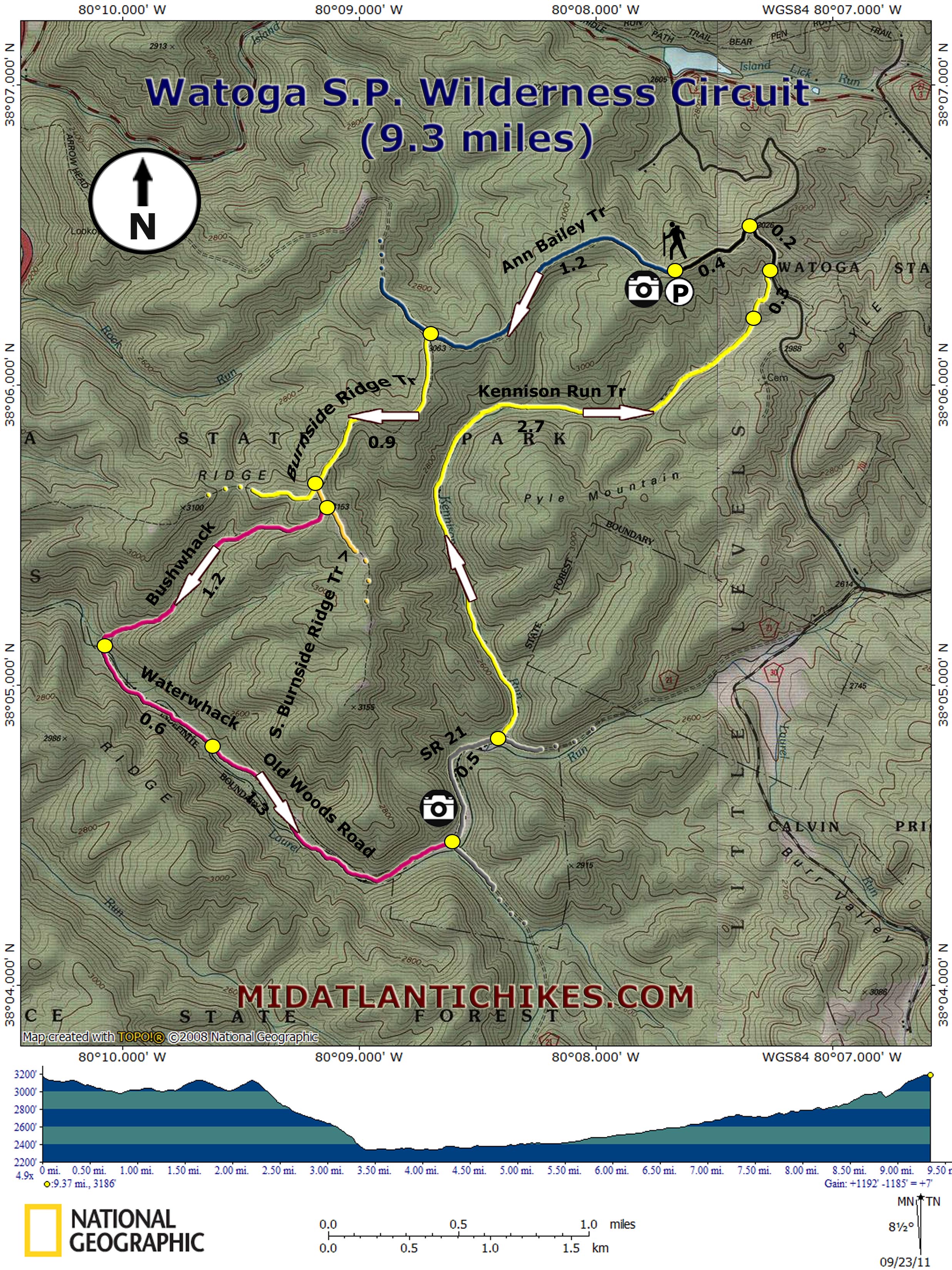
Description: At over 10,000 acres Watoga is the largest state park in West Virginia. It offers everything: a swimming pool, lake, two modern campgrounds and one primitive one, standard and modern cabins, a restaurant (in season) and over 40 miles of maintained trails including 5.5 miles of the long distance Allegheny Trail. It also includes a trail-less wilderness area. Another draw is the recently (2009) designated Monongahela National Forest Spice Run Wilderness (SRW) located approximately 1.5 miles south of the southern park boundary on SR 21. Instead of focusing on just the frequently used maintained park trails this 9.3 mile hike also explores the park wilderness utilizing a one mile open woods bushwhack, a 0.6 mile �waterwhack� (using a stream or other body of water as a trail) up pretty Laurel Run, a hike along an obscure old boundary road and a gradual climb on the seldom used Kennison Run Trail. If you don�t get the solitude you seek on the other park hikes you are sure to get it here. Bring your water shoes or towel and change of socks, compass and map (maybe a GPS unit) and have a blast. |
|
The hike starts at the Ann Bailey Trailhead off of T. M. Cheek Road in the park. ________________________________________ |
|
Zipped National Geographic TOPO! GPS and Universal GPS Files |
Trail Notes: From the parking area walk down the gravel
road and around the gate blocking the double track
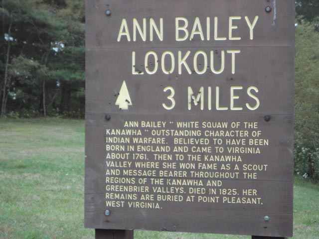
Ann
Bailey Trail . (Ann was a British born lady who became a
scout during the Indian wars after her first husband was
killed in an attack. Her most famous act was a 100 mile
solo ride to gather ammunition for a besieged fort.) The
hiking is easy as you follow it for 1.2 miles, turn left
for yet another 0.9 miles on the Burnside Ridge Trail ,
and then left again onto the South Burnside Ridge Trail
. These old roads are supposed to be blazed but I don�t
recall seeing any. Still they are easy to follow and
signed. After the last turn climb to the crest of the
ridge (just 0.1 miles or so). As soon as it flattens out
turn right off of the trail . In a few yards you will
see an un-named part time drainage running down the
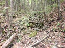
hollow. Stay to the left and slightly above until you
are passed the worst of the blowdowns, then descend to
the middle. At times you will use narrow deltas created
by past flooding and at other times it will be just as
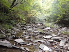
easy to walk down the stream bed. Reach its confluence
with Laurel Run in 1.2 miles where the stream splits.
Bear left and descend steeply to the run, changing your
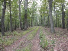
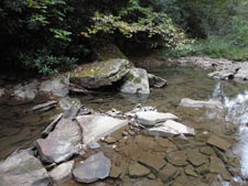
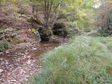
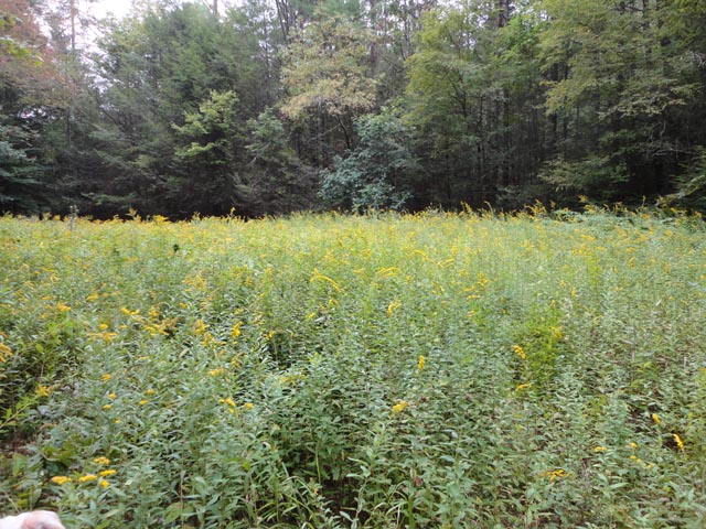
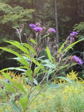
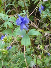
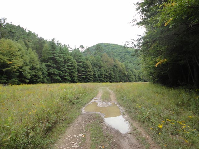
footwear prior to the descent if necessary. Turn left (upstream) and enjoy a 0.6 mile walk up the run. Initially the right (south-west) bank will be engulfed in dense Rhododendron. In the summer the banks are lined with blue Asters, yellow Sneezeweed and Wingstem, and vivid red Cardinal Flower. You might find some places where you can comfortably hike on terra firma but these are usually short lived. In 0.6 miles there is a cairn on the left (north-east) bank marking the spot where you should exit the stream. Do so and in about five steps find yourself standing on an old road. If you miss the cairn don�t worry. The stream will make a noticeable zig-zag in about 20 yards. The old road crosses in the middle of the first bend though it looks like an overgrown footpath at this point. Turn right onto it. For the next 1.3 miles walk through hardwood, pine, and Hemlock forests, crossing the run and its tributary or backwater and passing through three nice wildflower meadows. The next always seems larger than the previous. In the summer the dominant species are the chest high Slender-leaved Goldenrod and one of many Aster species. The towering Giant Ironweed and diminutive Monkshood add nice accents to an already beautiful display. |
|
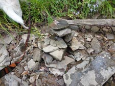
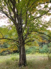
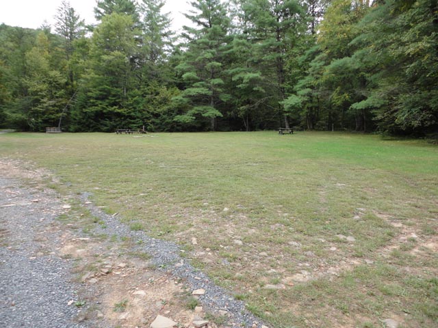
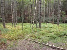
As you enter the last meadow (with views of Pyle Mountain) bear left around a magnificent old maple tree and eventually continue straight on dirt SR 21 which joins from the right. The road enters a dark Hemlock grove and fords two streams before depositing you into the Laurel Run Primitive campground. In 0.5 miles from joining SR 21 look for site #2 on the left. The Kennison Run Trail, blazed with yellow circles, is right behind it. Turn left and follow it. Although a park trail this one is poorly maintained but fits in well with the �wilderness adventure� you�ve been enjoying. The stream will follow a serpentine route, as it seeks the path of least resistance, but the trail pretty much follows the smoothly curving contour of the valley. Beware of any side draws, especially on the right early on. Do not turn up them. For the next 2.7 miles enjoy mostly Hemlock, pine and Rhododendron tunnels. At times the trail will be overgrown but at other times it will run through fields of ferns or just nice soft leaf mulch. After passing what appears to be a dry pond or a peat bog on the right turn left at a set of double blazes , climbing away from the run. In 0.3 miles turn left onto T.M. Cheek Road and in another 0.2 miles turn left onto the Ann Bailey Trailhead Road to close the loop.
________________________________________
________________________________________ |
|
|