|
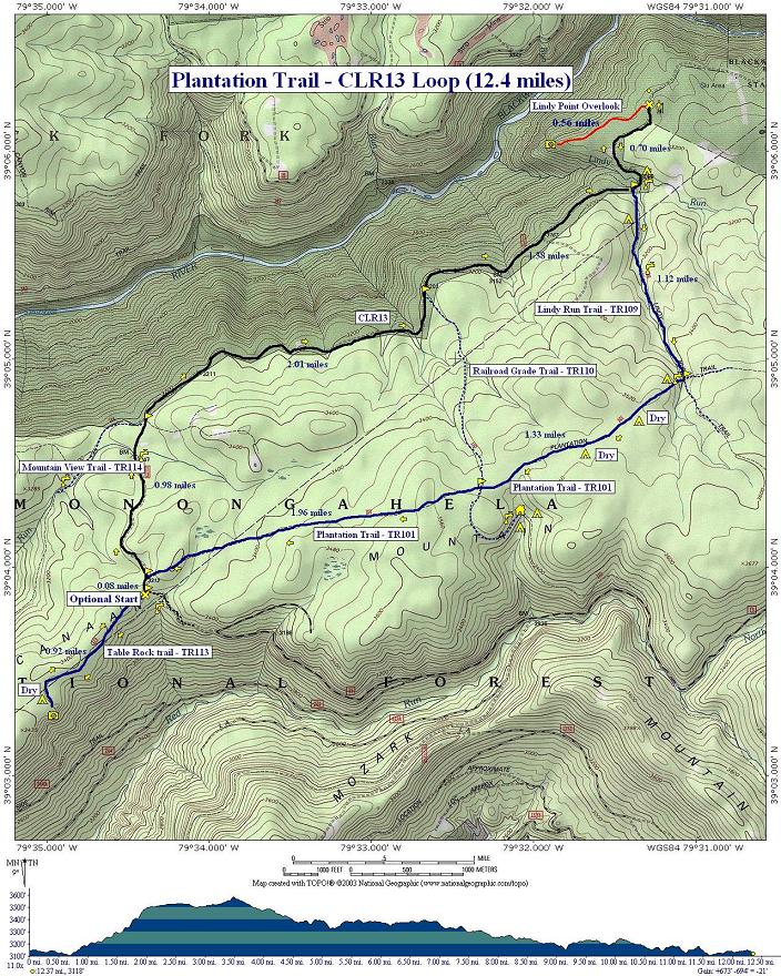
Plantation Trail/CLR13 Loop |
|
Description: This is
a moderate 12.4 mile loop utilizing the Lindy Run Trail, Plantation
Trail, Table Rock Trail and then |
|
Park at the Lindy Point Overlook
lot on the right just before
________________________________________ |
|
Trail
Notes:
From
the Lindy Point Overlook parking area walk south on gravel
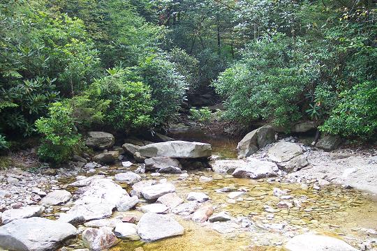
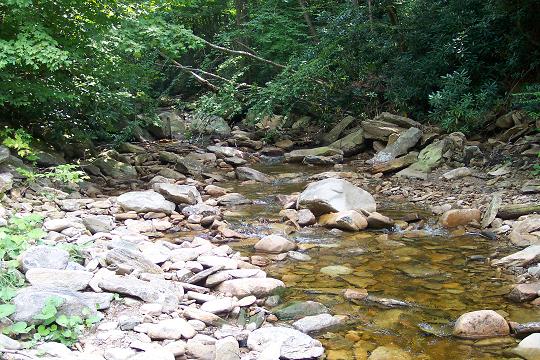
At 0.5 miles from joining Lindy Run Trail cross Lindy Run. This is usually a rock hop. In 0.7 miles from the stream crossing reach the intersection with Plantation Trail (TR101).
Turn
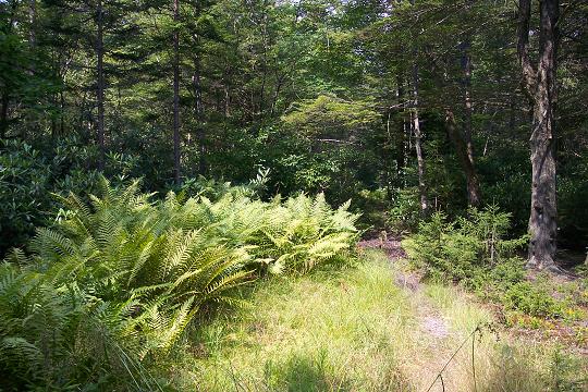
right onto Plantation Trail. Cross Lindy Run again and climb a short
hill. On the right is a meadow filled with Hay Scented Fern suitable
for several tents. There is a fire ring in the middle. There are
several spots along this segment of Plantation Trail under the bows
of giant Hemlocks that would make great campsites but they are dry.
If you intend to use them �water up� at the last Lindy Run
crossing.
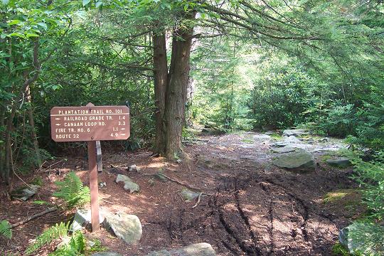
At
about 1.3 miles from leaving Lindy Run reach the
difficult-to-recognize juncture with unsigned Railroad Grade Trail.
Stop here and study the trails. For about 30 yards both trails share
the same tread. The Railroad Grade Trail bears slightly to the left
through a trough and has a blue diamond blaze in eye sight while the
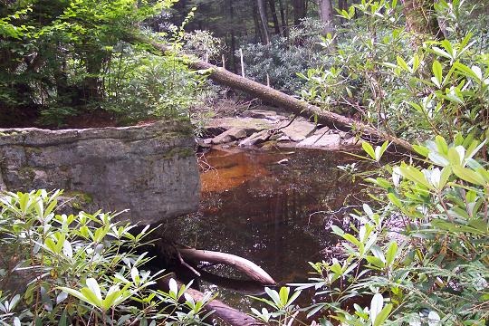
Descend
through a mix of Hemlocks, Spruces and mixed hardwoods to a peat bog
at about 1.4 miles from the last trail junction. Skirt the bog to
the right, climb slightly and descend to
|
|
Turn
left on
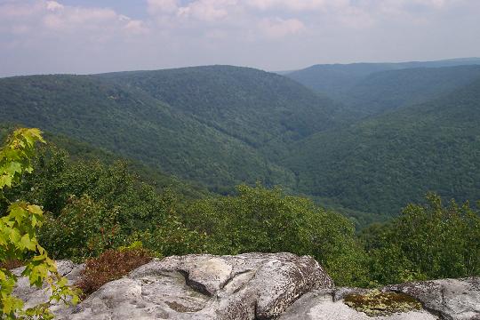
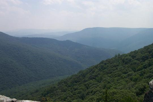
A s you reach the end, the trail splits. A lesser view is to the left. Bear right, passing through a nice but dry campsite, to see the real views. Retrace your steps to
Turn
left on
Printable/Downloadable Directions and Trail Notes Read about a recent trip to Canaan Mt. _______________________________________
_______________________________________
Name: Zach Hike: Plantation Tr/CLR 13 Loop Date: 05/04/13 Rating: 3
Critique: First and foremost, this website is an invaluable resource for hikers throughout the region and I am incredibly appreciative of it. All directions and trail descriptions were accurate for the hike - finding Lindy off of CLR13 should be easy as long as you make sure you are looking for a small rock cairn just off the side of the road. As noted in the description, the USFS no longer maintains the Lindy Run Trail to the Plantation trail - this is easily noticeable as the trail is becoming impassable at points thanks to the sheer number of blowdowns on the trail. Unfortunately, this does not cease once you reach the Plantation Trail, as some sections may take several minutes to move a mere 10 feet. Estimating that there were at least 25 blowdowns severely blocking the trail would seem to be a conservative estimate after finishing the hike. The area was very scenic regardless, however the frequency of blowdowns made this a very stressful hike. Fortunately this ceases once you reach the Table Rock trail. The views at Table Rock are absolutely incredible and are worth the distressing hike down the Lindy and Plantation trails. The walk back on CLR13 is certainly long, but it is a very pleasant and easy walk. I don't believe any vehicles travel down the road anymore - it looks like it'd be a very difficult time even for a Humvee. All in all, a recommended hike if you've already hiked most of the other areas of WV or really want to get to Table Rock.
M.R.Hyker Note: Super Storm Sandy has really done a number on most of the hiking venues in the MNF. Forest Service personnel and volunteers are currently overwhelmed. It will take some time to get all of the trails open. ______________________________________
Name: Greg and
Sarah Hike: Plantation Tr/CLR 13 Loop _______________________________________
|
|
|