|
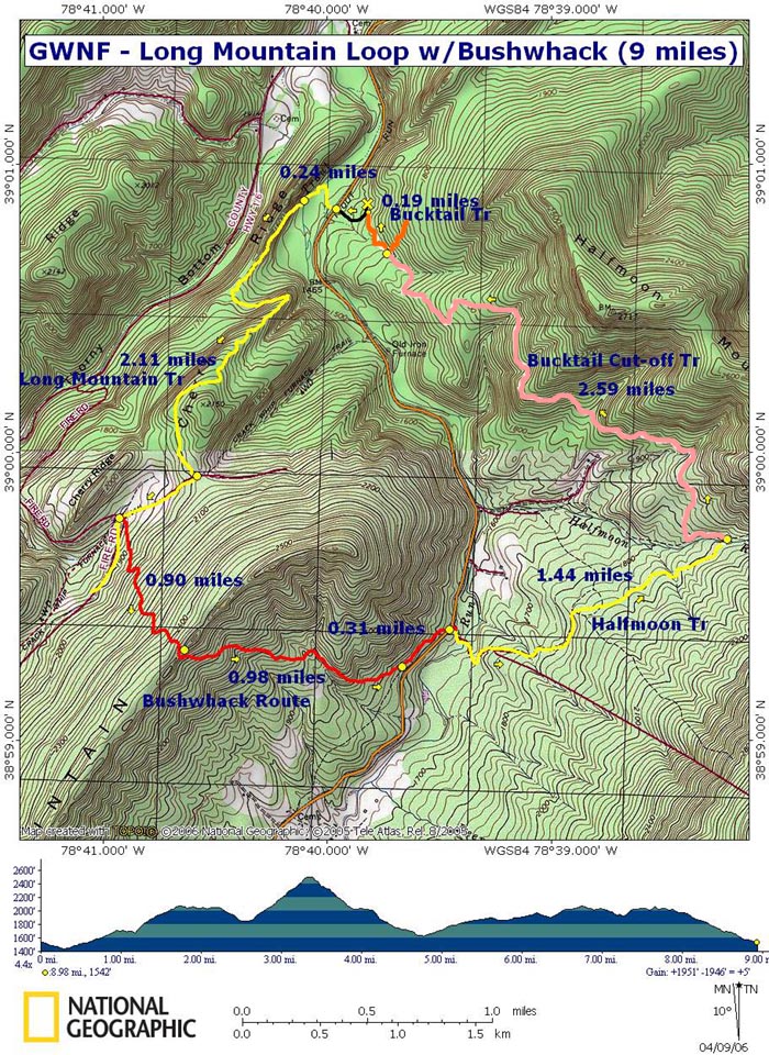
Long Mountain Loop w/Bushwhack
|
|
We would like to
thank Jim Tomlin and Catherine Kelleher for scouting this route and
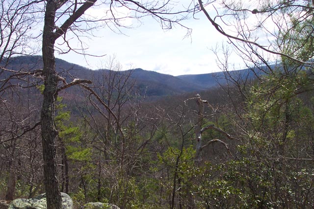
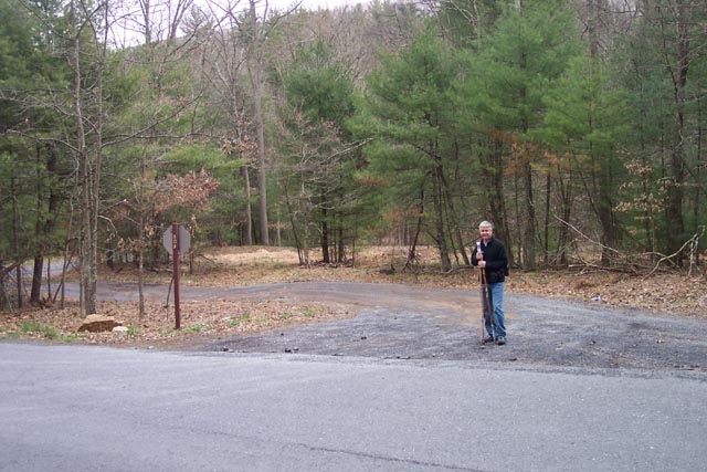
sharing their GPS data with us. Description: This is a 9 mile moderate loop on the Great North Mountain. It is, however, not for beginners. It involves a 2.4 mile bushwhack up and over Long Mountain. It requires either good compass and map skills or a good GPS unit and a lot of experience using it. The initial climb up Long Mountain offers views of Halfmoon Mountain to the east and of Thorny Bottom Ridge to the west. The bushwhack is challenging, steep on both sides of the ridge. Once you reach Trout Pond Road you'll enjoy a pleasant stroll along the lower portion of Halfmoon Tr, a wide grassy woods road, before joining the Bucktail Connector Tr for the final leg of the trek. There will be a forest service road on the east side of Trout Run Road with 521 painted on the back of its stop sign. There will be yellow blazes on trees going along the west side of Trout Run Road and Orange blazes on trees going up the forest service road. Turn onto the forest road and drive up to the forest gate on the right. Park on the shoulder but do not block the gate. |
|
________________________________________ |
Zipped National Geographic. TOPO! GPS and Universal GPX Files |
In another 2.11 miles arrive at a wildlife clearing. Turn right on a woods road to stay on Long Mountain Trail.
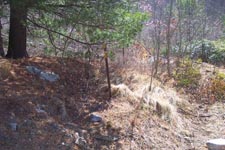
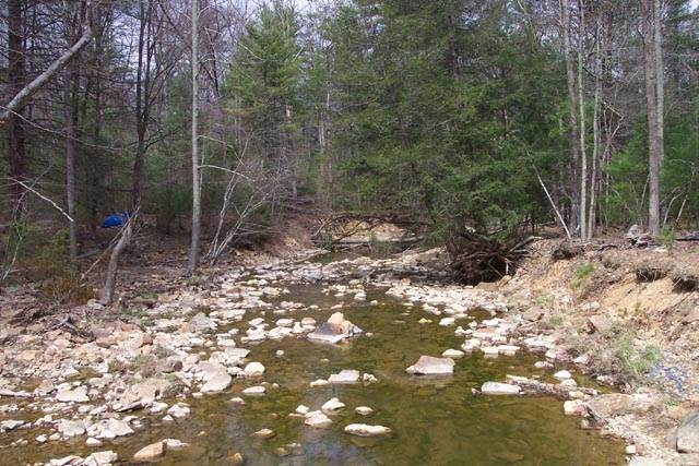
In 0.4 miles come to a 4X woods road junction. Long Mountain Trail continues to the left but you'll be starting the bushwhack here. Look for a brown metal stake with a yellow blaze on the left. Enter the woods here. Follow the GPS track provided to reach Dog Rock. If using a compass and map, you'll initially be traveling almost due south on a diagonal up the ridge. In about 0.4 miles you'll veer a little more to the east. Keep an eye out along the ridge for Dog Rock. Once you spot this landmark take the best route you can find to get there. After exploring Dog Rock return to the base of it and travel south-east a little until you can work your way around to the front (east) side of the base of Dog Rock. Either using the GPS track or traveling due east w/the compass descend from there on a diagonal. You'll cross a rock scree and eventually come to a part time stream. Cross the stream and turn right onto an old sketchy footpath. This path with go around a hill and pretty much disintegrate. From here you'll descend towards Trout Run Road but bear a little to the north-east. You'll pass a permanent deer stand on your right and soon find your self on an old woods road. Turn left onto the woods road. You'll be able to see the road through the trees. When you see a gravel road junction on the other side of Trout Run Road turn right, out of the woods, and cross to this gravel road. 509 will be painted on the back of the stop sign post. Follow it to the bridge over Trout Run and the Halfmoon Trailhead.
|
|
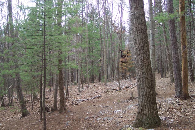
This lower section of Halfmoon Tr is a wide grassy woods road for the most part. What ever hills there are are slight to say the least. In 1.44 miles cross Halfmoon Run and arrive at the junction of pink blazed Bucktail Connector Tr on the left. Take this trail to its end in 2.59 miles to the junction w/orange blazed Bucktail Trail (another woods road). Turn left and in a short distance arrive back at your car.
Printable/Downloadable Directions and Trail Notes
________________________________________
________________________________________
Name: Tony Hike:
Long Mountain Loop w/Bushwhack ________________________________________ |
|
|