| Pocahontas-Cowpasture Loop |
|
|
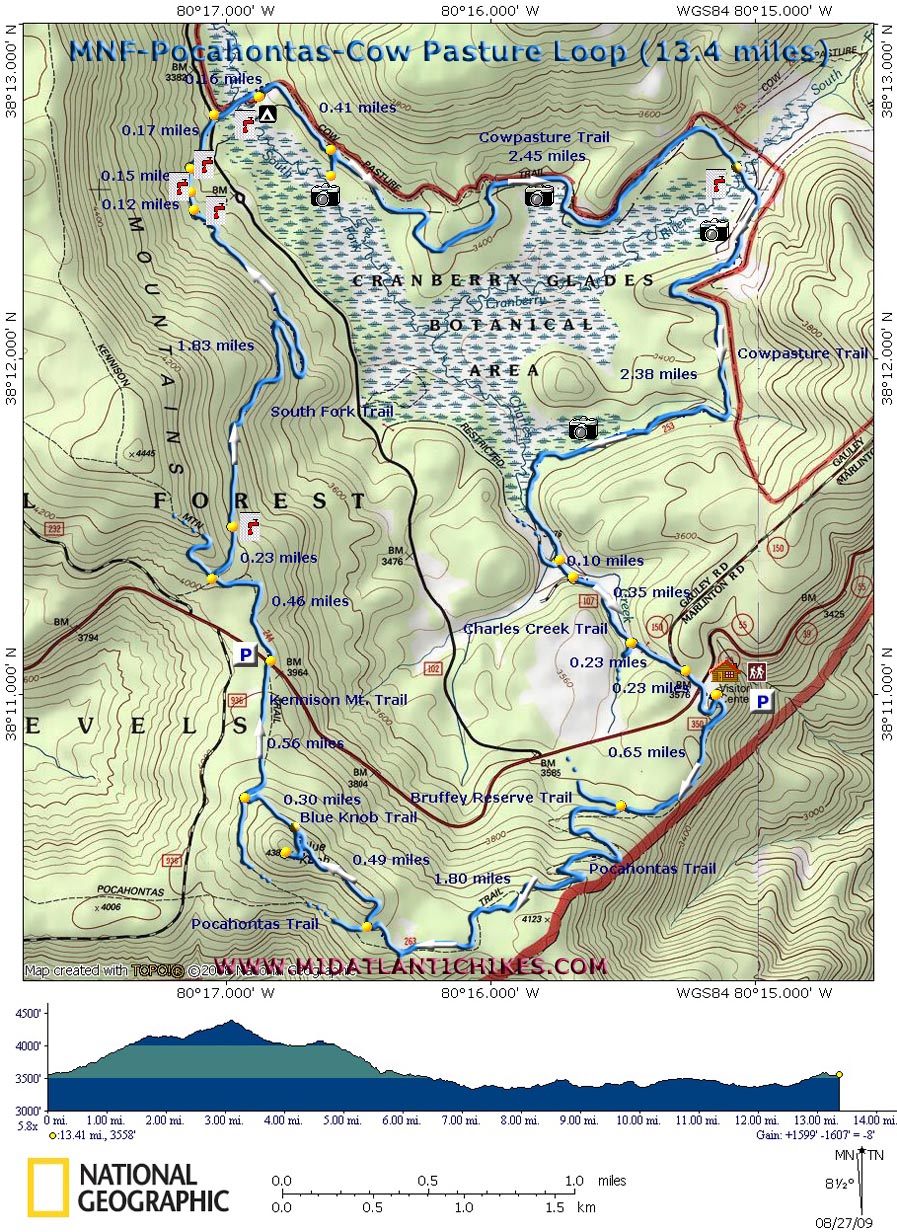
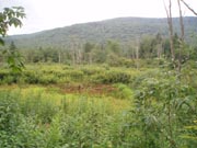
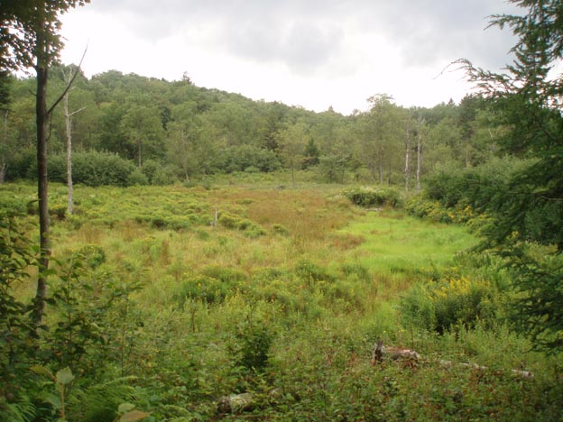
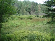
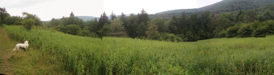
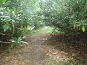
Description: The Cranberry Backcountry hosts the least utilized trail system in the entire Monongahela National Forest. A person can go there and hike up to thirty miles without encountering another living soul. Described here is a 13.4 mile loop with about 1600 feet in elevation gain (Most of this occurs over the first couple of miles and is accomplished by the use of some very long and gradual switchbacks.). The first seven miles is all about walking in the woods all by your self. The balance of the hike is a circumnavigation of the famous Cranberry Glades on the Cowpasture Trail. You�ll weave in and out of deciduous and coniferous forest, Golden Rod meadows and Rhododendron Tunnels. Every time the trail touches the bogs you�ll get a pleasant view of it with the surrounding mountains as a backdrop. This hike starts in the back of the Cranberry Mountain Nature Center parking lot. |
|
________________________________________ |
|
Zipped National Geographic TOPO! GPS and Universal GPS Files |
Trail Notes: The trails are blazed with blue plastic diamonds and blue paint. All trail junctions save two are signed. Follow a short asphalt trail into the woods. Turn right onto the joint, gravel Nature Trail/Pocahontas Trail. In a short distance the gravel nature trail will veer off to the right and return to the parking lot. Continue straight on the Pocahontas Trail. In 0.65 miles pass the Buffrey Reserve Trail on the right and begin a long, gradual climb on some nicely laid out switchbacks. In another 1.8 miles arrive at the unsigned but blazed junction of the Blue Knob Trail. Turn right and follow it for 0.49 miles to the junction with a spur trail on the left that goes to the top of Blue Knob. There are no views up there but if you are doing the hike in August and are into wildflowers I recommend the detour as you will walk through hundreds of Tall Bell Flowers just before the summit. Otherwise continue downhill for another 0.30 miles to the junction of the Kennison Mountain Trail. Turn right and follow this old haul road for 0.56 miles to WV Route 39.
Cross the road and parking lot and continue to follow The Kennison Mountain Trail across a level area for 0.46 miles. Turn right onto the South Fork Trail and switchback down the side of Kennison Mountain. The first two switches are on old railroad grades. The final one is more of a footpath and has a few gradual ups and downs. You�ll cross several small streams, all bridged, along the way. Note that as of this posting the final bridge is nearly broken in half but the crossing should never be an issue.
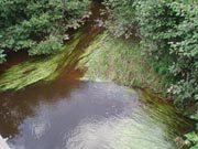
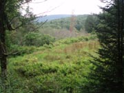
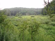
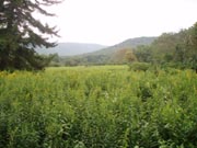
After hiking for 2.27 miles on the South Fork Trail arrive at FR102. Cross it and join the Cowpasture Trail as it passes through a mature Red Spruce Forest. Cross the South fork of Cranberry River for the first time in 0.16 miles. You will find a very adequate bridge at your disposal. As you walk back into another Red Spruce forest note an old campsite on the left. In another 0.41 miles turn right to visit an elevated deck for a panoramic view of the Glades. There will be several more eye level view points along the way. In 2.45 miles from the viewing deck cross the South Fork again on a bridge. Shortly the trail joins a nice railroad grade. Follow it for 2.38 miles. Turn left onto an unsigned trail. I�m pretty sure this is the Charles Creek Trail. You can still see some asphalt from the old road turned trail. In 0.10 miles pass an un-named trail on the right. In another 0.35 miles the Charles Creek Trail (signed) will turn right. Stay straight and in 0.23 miles arrive at the WV Scenic Highway. To the right you can see the nature center. Follow the roads and driveway back to your vehicle. |
|
________________________________________
________________________________________
Name: Craig
(not the photo guy)
Hike: Frosty Gap-Cowpasture Backpack |
|
|