
| Coopers Rock State Forest-North Loop |
|
|
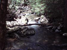
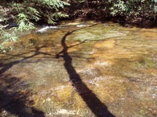
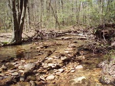
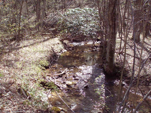
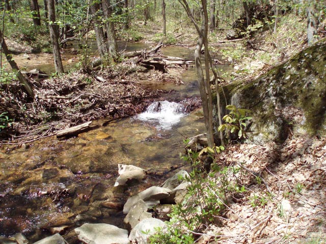
Description: The part of the forest north of Interstate 68 gets very little foot traffic. The �mature hardwood forest� theme continues but there is more active logging going on. The streams are pretty although for the most part their gradient is much less than found in other parts of the Mountain State. This makes them seem more like gently flowing brooks than raging rapids with white water and waterfalls. It adds a peaceful feeling to an already enjoyable hike. The centerpiece of this lollipop circuit is the Virgin Hemlock Trail. Along Laurel Run you will find specimens between 30 and 36 inches in diameter with a few reaching 4 feet. More moss covered mammoths can be found lying on the ground decomposing to restart the cycle of life. |
|
________________________________________ |
|
Zipped National Geographic TOPO! GPS and Universal GPS Files |
Description: Some trail junctions are signed while others are not. Bring this map and trail notes with you if attempting this hike. It starts at Trout Pond on CO Rt73. If you parked by the latrines walk back towards the boat launch area and find a fishermen�s path. Follow it halfway around the pond. It will climb and sidehill a bit before descending to an old grade. Turn right here. This is the Glade Run Trail. It climbs gently for 1.7 miles, crossing the stream several times, some by rock hops and one by a wooden bridge. Cross Chestnut Ridge Road and join the Lick Run Trail, another old logging road. The trail descends as gently as Glade Run Trail ascended but you never get a clear view of the stream. The trail will pass a clear cut area on the right before ending in 1.7 miles at a power line/telephone utility right of way. There is no sign here. You can attempt to follow the poles to the left to a parking area but the way is quite rocky and loaded with wild roses, Green Brier and Black Berry. You definitely don�t want to try it if you are wearing shorts. Instead, find your way up a steep but short hill to Rt73. Turn left and walk the shoulder 0.3 miles to the parking area. Continue another 0.7 miles, passing a yellow and blue forest gate as you go. Turn left onto the signed Virgin Hemlock Trail. Descend a set of steps and cross the previously elusive Lick Run on a bridge above its confluence with Laurel Run. The trail goes both left and right forming a nice short loop making it ideal for a family outing if you park here. Turn right onto the trail. It will bear to the left but a short spur on the right leads you down to Laurel Run and your first views of the giants. After checking them out continue up the trail. You can walk to the bank of the stream in several places, using the shade, cold water and tranquility to reenergize yourself before completing your trek. |
|
In 0.6 miles from the trail split turn right at a cairn and cross a narrow stream to pickup up a footpath that crisscrosses an overgrown haul road for a short distance before reaching a grassy gas line right of way. Turn right and soon ford Little Laurel Run. Immediately after crossing, turn left onto an unofficial but well maintained footpath. In 0.7 miles from leaving the Virgin Hemlock Trail arrive at Kens Run Trail. It has a few old faded yellow blazes. Turn left and follow it for 0.8 miles, crossing Little Laurel Run a few times before arriving at an unsigned trail junction. To the left is grassy Weir Trail/Road. It is the easiest way from here. If you want to explore the stream some more continue on the Kens Run Trail. They both lead to the same place on Sand Springs Road. Be forewarned that as of this writing (05/2011) there are at least three large tangles blocking the trail that have to be circumnavigated. Thankfully the understory is pretty cooperative in this regard. In 1.3 miles the trail bears to the left and climbs the only real hill of the hike to the parking lot of an abandoned archery range. From here turn left onto Sand Springs Road. In 0.4 miles, as you pass the Forest Headquarters, now on Chestnut Ridge Road, Turn right onto the Glade Run trail and retrace your original 1.7 miles, making sure to turn left onto a footpath where some small limbs lie across the haul road. If you miss this turn you will end up at a couple of swampy areas with no way to complete the hike. If this happens simply backtrack and regain the trail.
________________________________________ ________________________________________ |
|
|