
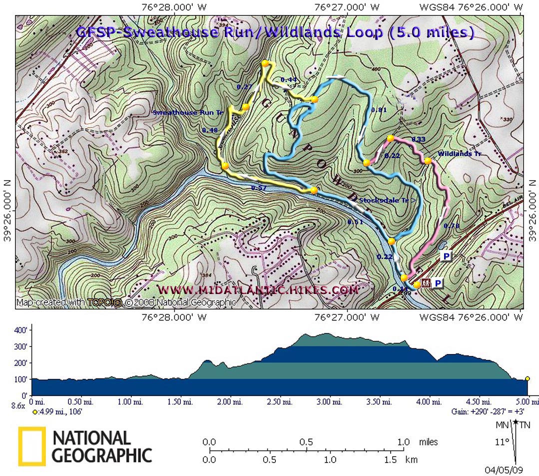
| Sweathouse Branch-Wildlands Loop |
|
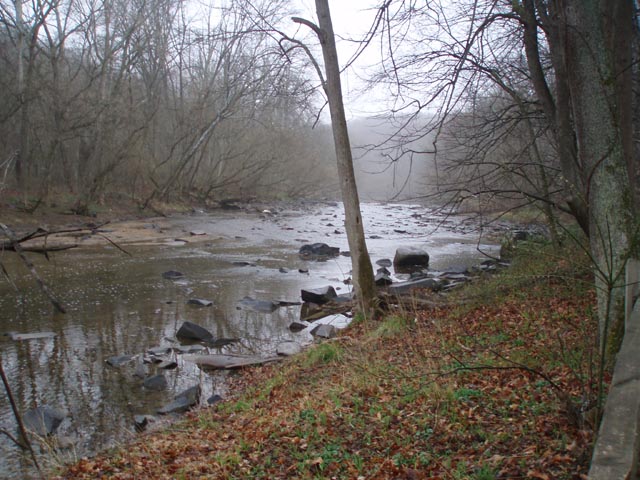
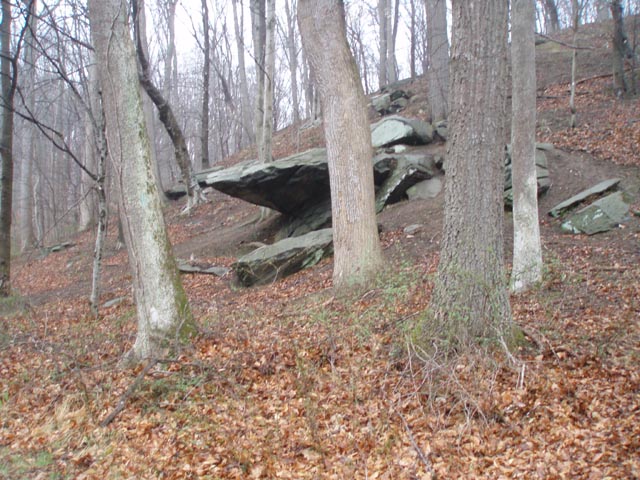
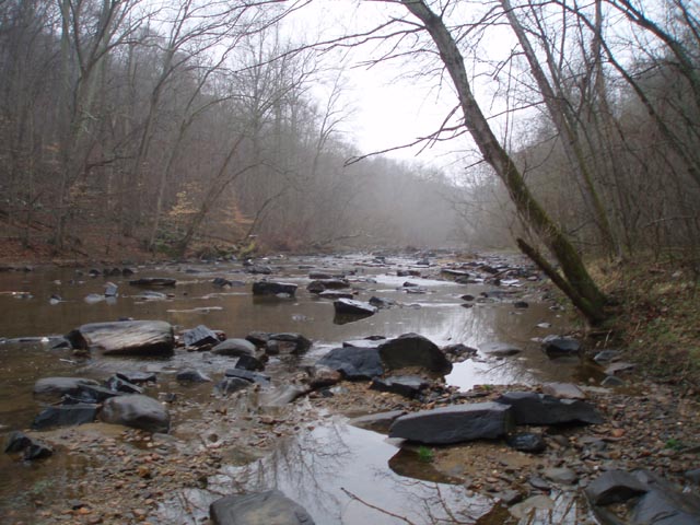
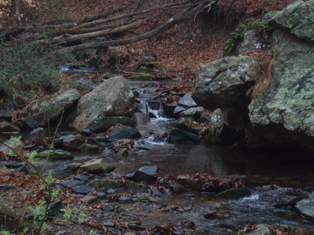
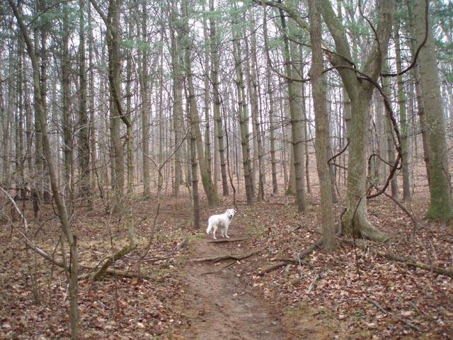
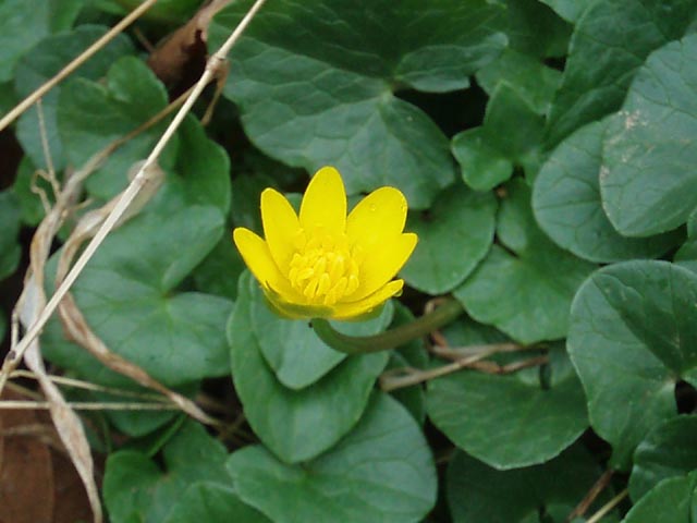
Description: The Belair Road area of Gunpowder Falls State Park is a very popular hiking venue. There are two parking lots at the main entrance and an overflow lot about 0.10 miles further north on Belair Road with a footpath that leads back down to the river. If you visit the park in the winter or during the week you might find some degree of solitude. This easy 5.0 mile circuit features the always pleasant Gunpowder River, the min-rapids of Sweathouse Branch, a mixture of forest types and the rolling hills of the Maryland Piedmont. Spring flowers include, but are not limited to, large clusters of Marsh Marigolds, Periwinkle, Bloodroot and Virginia Blue Bells. If this hike is a bit lacking in length consider adding the 5.1 mile Lost Pond Circuit also found on this site. |
|
________________________________________ |
|
|
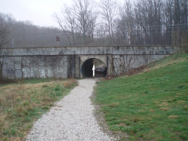
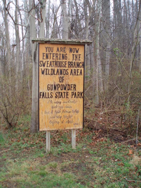
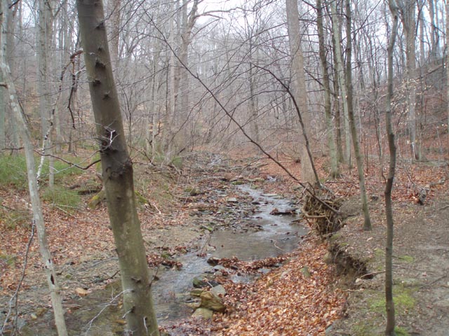
Trail Notes: From the front parking lot, look toward the kiosk. There is a green metal gate to its left. Walk around it and follow a gravel trail to the right. Pass through a tunnel the goes under Belair Road and arrive at the Sweathouse Branch Wildlands Area of the park. Continue straight, following the river on the blue blazed Stocksdale Tr. Shortly after the sign the Pink blazed Wildlands Tr (your return route) comes in on the right. Continue on the Stocksdale Tr. In 0.22 miles the trail splits. Continue straight, following the river. In another 0.51 miles the blue Stocksdale Tr goes to the right. Remain straight, now on the yellow blazed Sweathouse Branch Tr. In 0.57 mile from the last trail junction the trail will bear right, away from the river, and cross Sweathouse Run. There are 2 large rocks to aid in your crossing. After the crossing you will bear right and climb steadily up the back of a low lying ridge. In 0.48 miles from the stream crossing cross a small feeder and descend once again to the Branch. After you cross the Branch the trail turns left following it for another 0.27 miles before turning right and climbing another short hill. In 0.44 more miles from leaving the Branch and hiking through a nice pine plantation, turn left onto the blue blazed Stocksdale Tr. In 0.81 miles turn left onto pink blazed Wildlands Tr. There is no sign here but you can�t miss the old woods road or the pink paint on the pine trees. Follow the edge of another pine plantation for a 0.22 miles before turning right onto a footpath. Descend for 0.33 miles and cross a small stream. As you climb out of this last drainage you will begin to hear the traffic on Belair Rd. In 0.78 miles from the crossing find yourself back at the initial junction with the blue blazed Stocksdale Tr. Turn left and retrace your earlier steps back to your vehicle. |
|
________________________________________
________________________________________ Outing Critiques
Name: Sarah
Outing Critique: A beautiful hike
on a beautiful day! The bluebells were astounding along the
river. Just SO many! The trail intersections are all well
marked. Do not ignore traditional blaze turn signals (for new
hikers: one blaze above another, turn in the direction the upper
blaze is on), or you will miss the turn where the yellow trail
cuts away from the river. A very clearly defined trail
continues straight beyond that point, just after a stream
crossing, but turning right is the right thing to do there.
Just follow the blazes! _______________________________________
Name: Geof
Hike: Sweathouse Run/Wildlands Loop
Name: Vern
Hike: Sweathouse Branch-Wildlands Loop ________________________________________ |
|
|