
|
FMF-Sand
Flat-Salamander Circuit 03/07/11 |
|
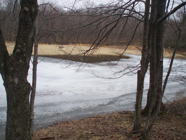
Description: For more information about the Frederick Municipal Forest and the Catoctin Trail see the Clifford Hollow Loop. Described here is a moderate 9.4 mile hike utilizing the Catoctin and Salamander Trails along with some short connecting trails and woods roads. Highlights include four ponds, the Piedmont Vista and the Salamander Trail itself with its Mountain Laurel tunnels, rock outcrops and sections of trail carpeted with pine straw. There is only 1000 feet of elevation gain which is barely perceivable except in two locations and those are either brief or very gradual. Google Maps Custom Driving Directions The trailhead parking area is on Gambrill Park Road 1.1 miles north of its intersection with Delauter Road. |
|
________________________________________ |
|
Zipped National Geographic. TOPO! GPS and Universal GPX Files |
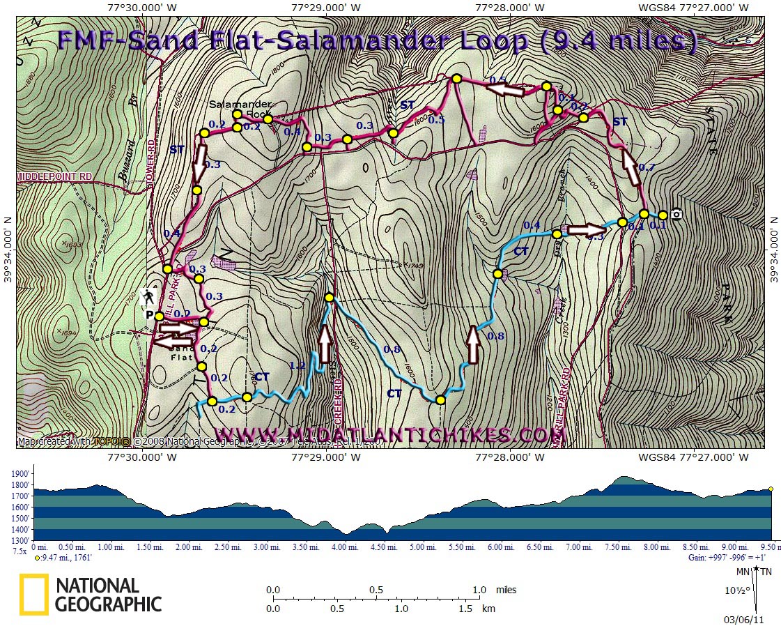
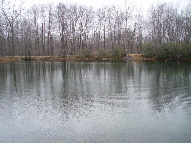
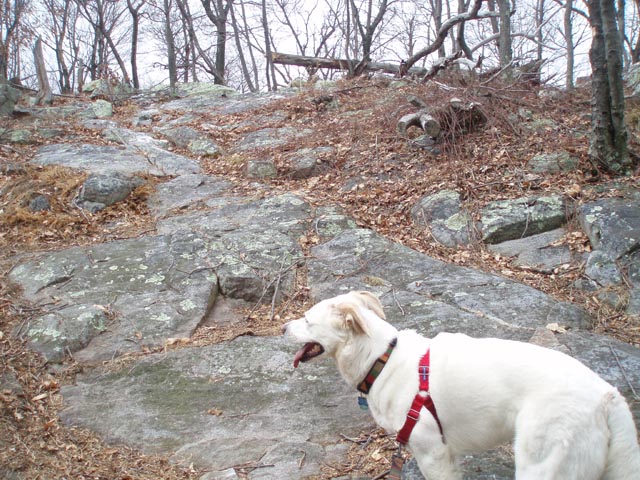
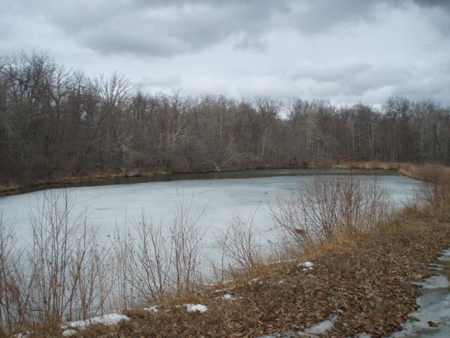
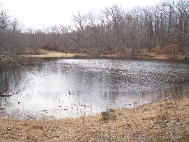
Trail Notes: Only the Catoctin Trail carries official blazes and signs. From the parking lot walk around the yellow forest gate and follow an old road for 0.2 miles. Turn right after passing the first of two �twin� ponds. Pass its sister and arrive at a four way road junction in another 0.2 miles. Turn right and then quickly left following spray paint blue blazes for 0.2 miles to a junction with the blue blazed Catoctin Trail (CT). Turn left and proceed through laurel thickets for 0.2 more miles. The old route of the trail has been closed and signed as such. The new trail is immediately to its left. Follow this footpath as it switchbacks down to reconnect with the old trail, an old woods road at this point. In 1.2 miles from joining the new trail cross the headwaters of Fishing Creek and turn right, crossing a road of the same name. Walk around the gate and climb gradually for 0.8 miles to the junction with another woods road. Turn left to stay on trail and descend for 0.8 miles to a pretty pond on the right. The trail passes yet another pond (this one with a cracked drain pipe) in 0.4 miles then crosses Gambrill Park Road (gravel at this point) in another 0.3 miles. Cross a clearing with a four way trail junction (The Salamander Trail) and soon arrive at a large rock outcrop with a panoramic view of the Piedmont Plateau. After taking a break return to the Salamander Trail (ST) and turn right onto it. The trail is relatively easy to follow although there are several unsigned junctions. Generally speaking, left turns will take the hiker back out to the road. Right turns are the continuation of the trail (Unless intentionally blocked with small logs or branches. Don�t confuse these with the more obvious bike jumps.) |
|
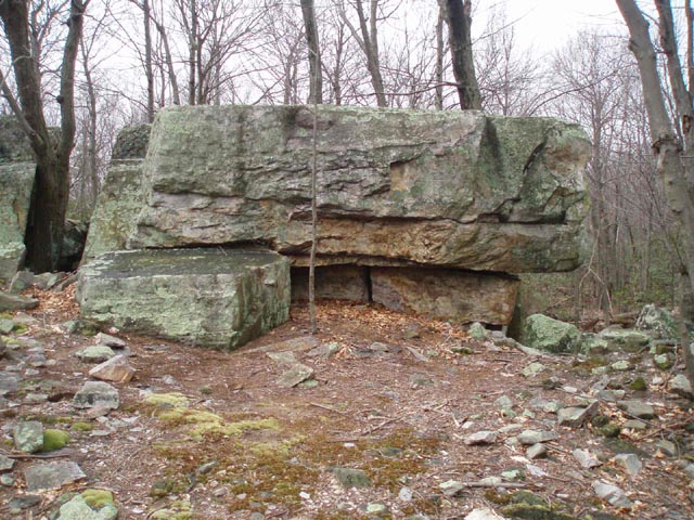
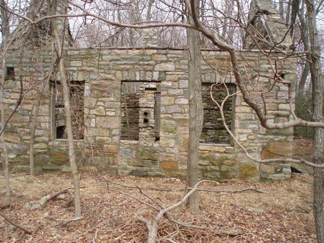
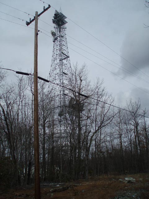
In 0.7 miles make the first right turn. In 0.2 miles the trail seems to end. Turn left and climb up and over Mo�s Cut (A huge pile of rocks) arriving at a T intersection. Turning left takes you back to the road but there is a pretty interesting rock sculpture just a few steps down the trail. If you decide to check it out return to the intersection and cross over a bike jump to continue. In another 0.1 miles there is yet another junction. Stay straight/right here and follow a nearly straight trail for 0.5 miles as it skirts a posted private property boundary. Once again turn right at a trail junction. There will be three more right turns at 0.5, 0.3 and another 0.3 miles. After the last one the trail winds gradually up a hill and in 0.4 miles arrives at the remains of an old stone house and the access road for a comm tower. Cross the road and follow a power line swath for 0.2 miles. Turn left through a laurel thicket and then right onto another old road. The road forks in 0.2 miles. Bear left following the bike tracks. Bear left again in another 0.3 miles. In 0.4 miles arrive at Gambrill Park Road. Turn right onto it but soon turn left around a yellow forest gate. There is a short access road on the left that leads to the pond you had seen when you first reached the road. In 0.3 miles from leaving Gambrill Park Road turn right onto an unmarked, sketchy and rocky footpath. This becomes more obvious and smoother as you go. In 0.3 miles from leaving the woods road arrive at the first pond you saw in the morning. Turn right and retrace your initial steps back to your vehicle.
________________________________________
________________________________________ Outing Critiques
Name: Tony Van
Vugt
Hike: FMF-Sand Flat-Salamander Circuit ________________________________________
Name: Chris
Dittman
Hike: FMF-Sand Flat-Salamander Circuit ________________________________________ |
|
|
