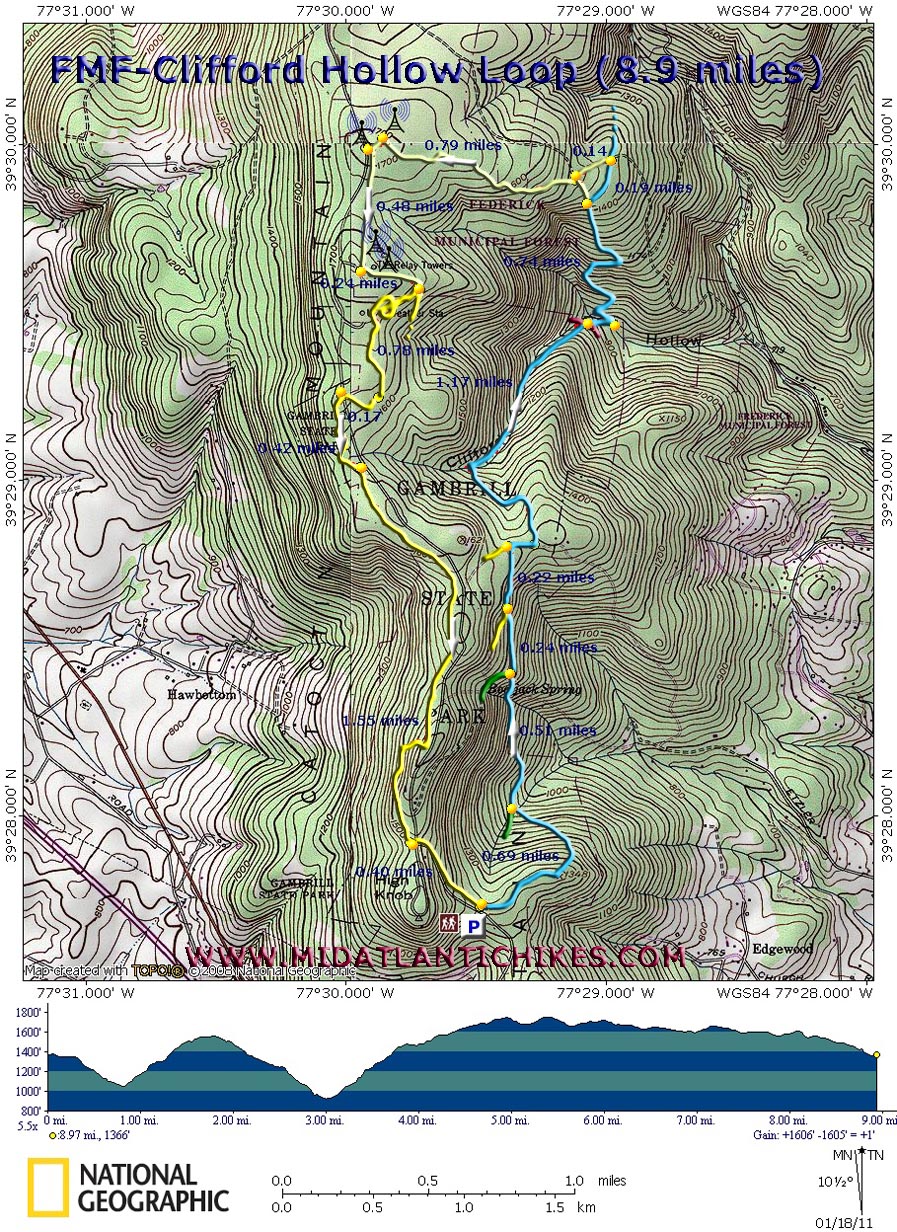
| FMF-Clifford Hollow Loop |
|
Description: First I�d like to thank Ed Stoebenau for sharing his map and knowledge of the area and Dottie Rust for scouting it with me. Catoctin Mountain is the eastern-most ridge of the Appalachian Mountains in Virginia and Maryland. It runs from just south of Leesburg, VA to South Mountain Just above Camp David in Maryland. The twenty-five mile Catoctin Mountain Trail traverses this ridge from Gambrills State Park to its northern terminus At the northern boundary of Catoctin National Park. (Although considered a long distance trail backcountry camping is not allowed anywhere along its length.) As it exits the park it enters the Frederick Municipal Forest, the primary watershed for that city and a network of roads and unofficial trails commonly referred to as a �Mountain Bikers Mecca�. The trails are also great for hiking as you climb in and out of deep hollows with old growth timber, towering Mountain Laurel, pretty streams and rock formations. Described here is a moderate 8.9 mile circuit utilizing the Catoctin Trail as the backbone of the trek, a well marked bike trail as a connector and the park�s Yellow Poplar Trail as the return leg. |
|
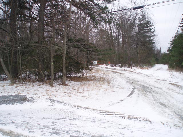
The hike starts at the first parking area on the right as you enter Gambrills State Park. If this is full proceed to the next parking area (on the left) at the Nature Center/picnic area. Hike down the yellow trail on the left side of the park road to get to the trailhead. ________________________________________ |
|
Zipped National Geographic. TOPO! GPS and Universal GPX Files |
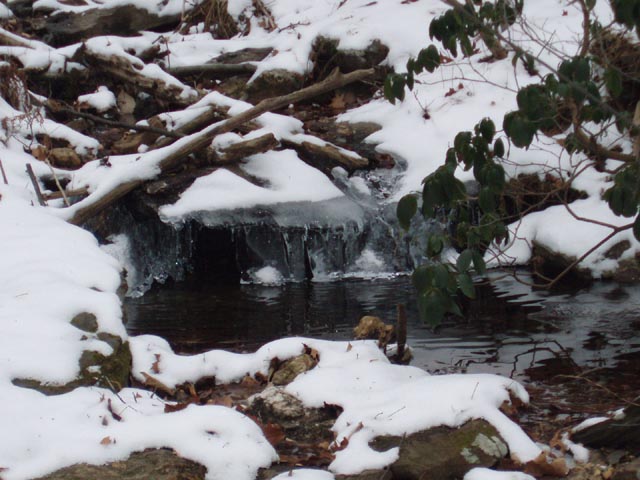
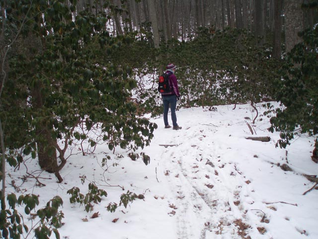
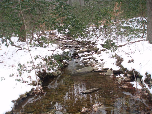
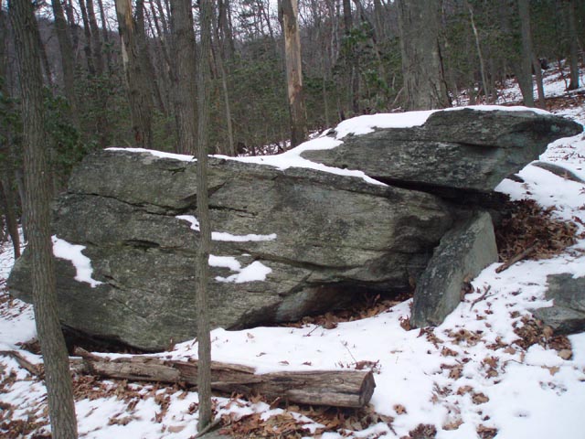
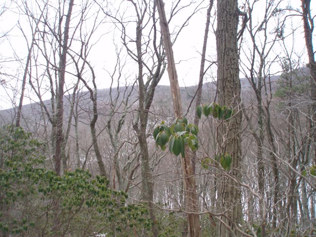
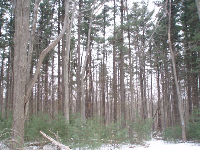
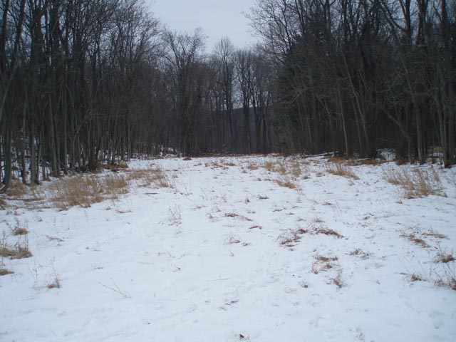
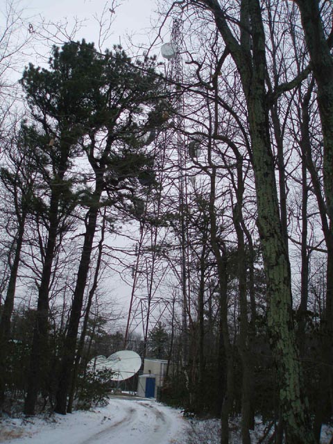
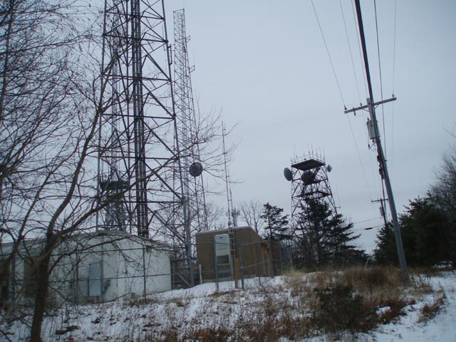
Trail Notes: The Catoctin Trail and park trails are signed and well blazed. The many bike trails are not necessarily so. The one used here is blazed with yellow spray paint and, except in one spot, easy to follow. From the kiosk proceed north on the blue blazed Catoctin Trail. It will also display black blazes (Black Locust Trail) for a while. In 0.69 miles cross a small part-time stream as the green blazed Green Ash Trail joins from the left. Both the black and green trails turn to the left in another 0.51 miles as the Catoctin Trail continues straight. The Yellow Poplar Trail joins from the left as an old haul road in another 0.24 miles but exits to the left on a gravel road at 0.29 more miles. Turn right onto the road for just a few steps and then turn left onto a footpath. Descend into Clifford Hollow as you cross a stream several times. The trees and Mountain Laurel are bigger down here. Just before the last crossing a couple of old trails/roads will cross the path. Ignore them. At 1.17 miles from leaving the gravel road make the last ford and turn left. Climb steeply via switchbacks past some rock outcrops and partial views of the surrounding ridges, reaching a crest in 0.74 miles. To the left will be an obvious but unmarked trail which can be used as a shortcut. If you want to view an impressive stand of pine continue on the Catoctin Trail for 0.19 miles. Turn left onto an old haul road, leaving the Catoctin Trail behind. You should start to see occasional yellow spray paint blazes here. Follow the edge of the pines for 0.14 miles. There will be a large clearing to the right and a smaller one to the left. Turn left and soon find yourself on the shortcut trail you passed earlier. Turn right onto it. You will still gain elevation over the next 0.79 miles but most of the hard work is behind you. Arrive at a gravel road. To the right is the first of several communication towers you will see over the next fifteen minutes. Turn left onto the road, pass a cable gate and turn left onto a narrow power line right of way. Climb gradually for 0.48 miles and follow the spray paint blazes along the gravel road. Turn left after the last tower and re-enter the woods. |
|
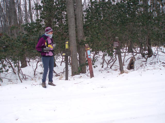
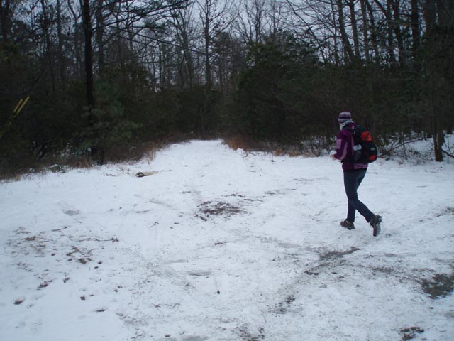
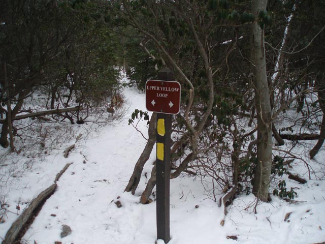
At 0.24 miles from leaving the comm tower complex arrive at the signed Upper Yellow Loop junction. You are officially back in Gambrills SP. Since it is a loop trail going either way will get you to where you need to go. This description has you turning right as the trail meanders for 0.78 miles through the woods before crossing the same power line right of way that you used as a path a short while ago. In 0.17 miles cross the park road. The trail closely parallels it for the rest of the hike. In 0.42 miles the other end of the Upper Loop Trail joins from the left. Continue straight. In 1.55 miles turn left at a trail junction and cross the park road again. Follow the yellow blazes for 0.40 miles back to your vehicle. _______________________________________
________________________________________ Outing Critiques
Name: Wolly Bully & Shorstack Hike: FMF-Clifford Hollow Loop Date: 04/28/14 Rating: 4
Critique: We did this on a clear and warm day. Without the overhead leaf cover there was an open feeling to the woods, and the mountain laurel provided a lot of green close to the ground. This route must be spectacular when the laurel blooms! The first half of the hike follows the Catoctin Trail, passing thru two valleys. This second descent crosses a pretty stream several times, easy rock-hops. The long and fairly steep ascents made for a good workout. The north end of the route follows mountain bike paths and a power line right-of-way. In general, bearing to the left keeps you on track. The last part follows the Gambrill State Park Yellow Trail. Fairly level, rocky in places, and paralleling Gambrill Park Road. At the end we added a little distance at the end by turning left and taking the Yellow trail counterclockwise around the base of the "High Knob" area, for 9.8 miles. This made for a nice day.
________________________________________
Name: Sam
Hike: FMF - Clifford Hollow Loop ________________________________________
Name: dottie
Hike: FMF--Clifford Hollow Loop _______________________________________ |
|
|