|
Wil Kohlbrenner Memorial Circuit |
|
|
Description: This is a very strenuous trek. It can be
done either as a 12 mile day hike or a 14 mile over-night backpack.
I named this loop after a very energetic PATC trail builder, Wil
Kohlbrenner, who besides writing trail guides for the Massanutten Mt
and the |
|
Allow a lot of time for this one. It�s probably best to do it in the early spring but after the time change when the days first become long but the temps are still mild. Bring extra water and some food as all of the ups and downs and the rocky tread will leave you fatigued.
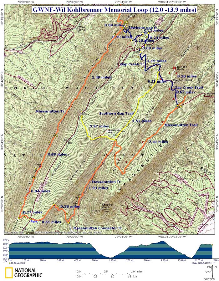
Look for a parking loop on the left and orange blazes on the trees where the trail crosses the road. Note: Crisman Hollow Rd is closed in the winter. Contact the Lee Ranger district at (540)984-4101. _______________________________________ |
View 3-D Map of the Short Route Zipped National Geographic. TOPO! GPS and Universal GPX Files |
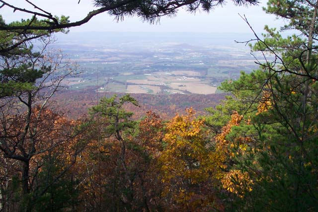
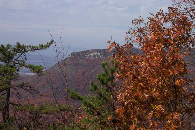
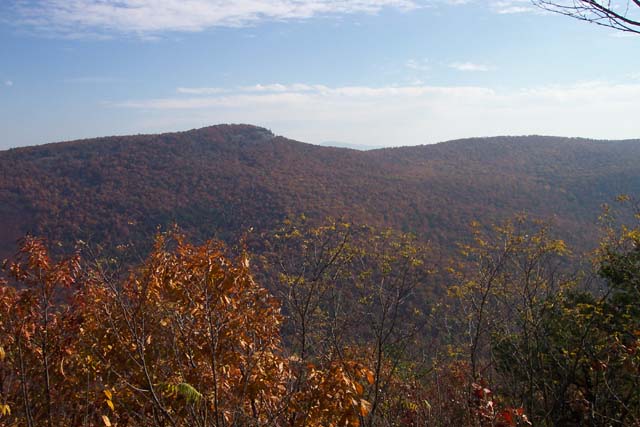
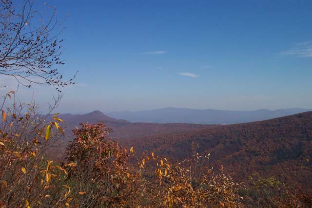
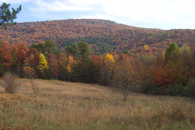
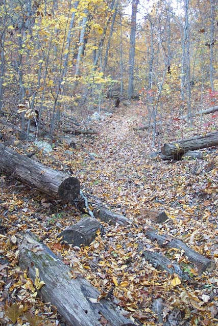
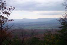
Trail Notes: Begin the trek by crossing the bearm blocking the west trailhead. Follow an old woods road, steeply at times, up the side of the ridge. At 0.27 miles the trail splits. Turn right and continue to follow the orange blazes. Over the next 4.2 miles you will walk along the ridge of Kearns Mountain, sometimes on the very top and sometimes on either flank. The tread is extremely rocky! Some overlooks are obvious. For more views just climb up onto the nearest rock outcrop.
Arrive at the junction of Jawbone Gap Trail (Blue blazed) and an overlook trail (white blazed, straight ahead.) The Massanutten Tr makes a sharp left here. The views are worth the climb up to the top of the overlook but if you�re backpacking you may consider stashing your load first.
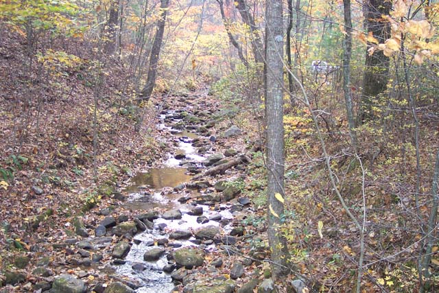
Descend on Jawbone Gap Trail. Initially it will be a footpath. In 0.5 miles arrive at a woods road. Turn left here. In a short distance another road will come in sharply from the right. Stay straight, following the blazes. Turn right onto a hard gravel road at the next intersection and follow it to Crisman Hollow Rd. Turn right and in a few yards bear left onto another old woods road. This is the beginning of blue blazed Creek Gap Trail. There are primitive car campsites along this road. The trail turns left through one and crosses Passage Creek on a bridge.
Climb steeply up Creek Gap trail. In 1.2 miles the Creek Gap Trail makes a hard left turn and Yellow Blazed Scothorn Gap Trail goes straight. The sign is missing but the blazes are obvious. Follow Scothorn Gap Trail.
In 1.52 miles reach the junction with the Orange Blazed Massanutten Trail (Left and Straight. Scothorn Gap Trail makes a hard right here.) Stay straight joining Massanutten Mountain Tr going south.
Descend 1.93 miles to the junction of the white blazed
Massanutten Mountain Connector Trail. You will cross a small stream
twice in the process. Turn right to stay on the orange blazed trail
and climb very steeply for o.56 miles to the top of
|
|
_____________________________________
_____________________________________
Name: Kris
Hike:
Wil Kohlbrenner Memorial Circuit _____________________________________
Name: Don
Holland Hike: Wil Kohlbrenner Memorial Circuit _____________________________________ Name:
Jeff Schneider Hike: Wil
Kohlbrenner Memorial Circuit
|
|
|