| Three Ponds Loop |
|
|
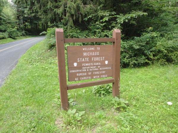
Description: For more information on the Glatfelter area of Michaux S.F. see the Glatfelter Area-1 hike. Before I begin I�d like to thank Ed Stobenau who provided a GPX file which made scouting this loop easy. The Glatfelter area contains a labyrinth of old logging roads weaving through stands of varying kinds of timber. They are many and quite obvious. They are not blazed or signed however. A good map and a compass are requirements for hiking in this part of the forest.
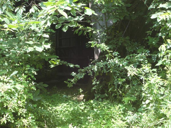
This is a moderate 5.7 mile hike with 589 feet of elevation gain. The openings created by the road junctions and ponds provide a profuse display of wildflowers and the majority of the trails are lined with ripe raspberries in mid-July. Japanese Stilt Grass has run amuck throughout the trail system. I recommend wearing long, lightweight nylon pants in the summer. Spray your legs and the lower part of your trousers with tick repellent.
|
|
There is a gravel pull over in front of the stop sign at the southern end of Mt. Hope Road at its intersection with Gum Springs Road which can handle two vehicles. ________________________________________ |
Zipped National Geographic TOPO! GPS and Universal GPX Files |
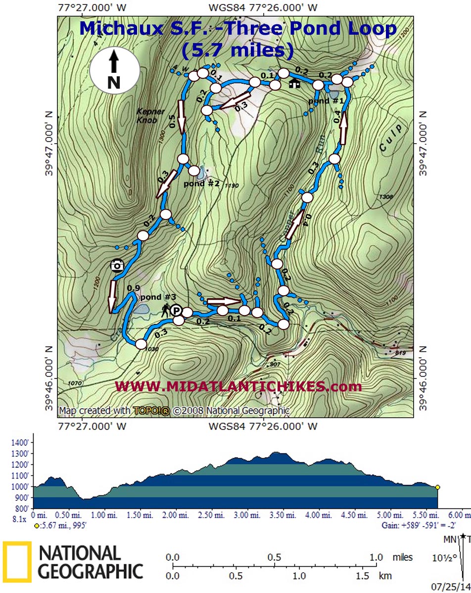
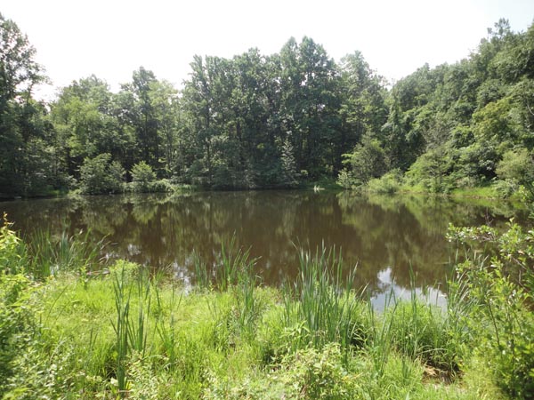
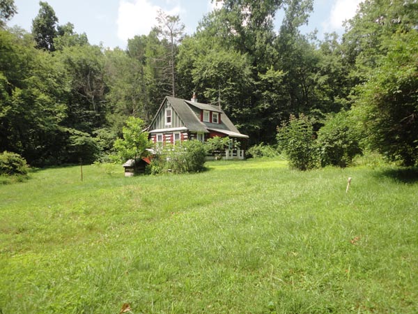
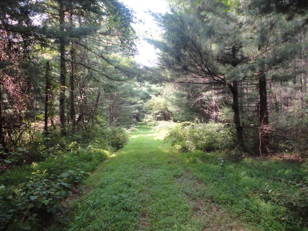
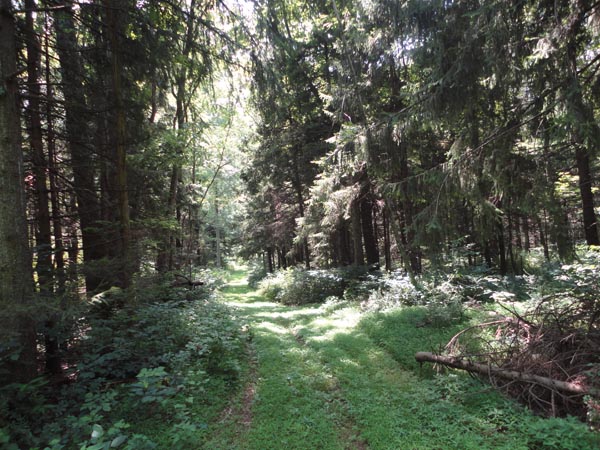
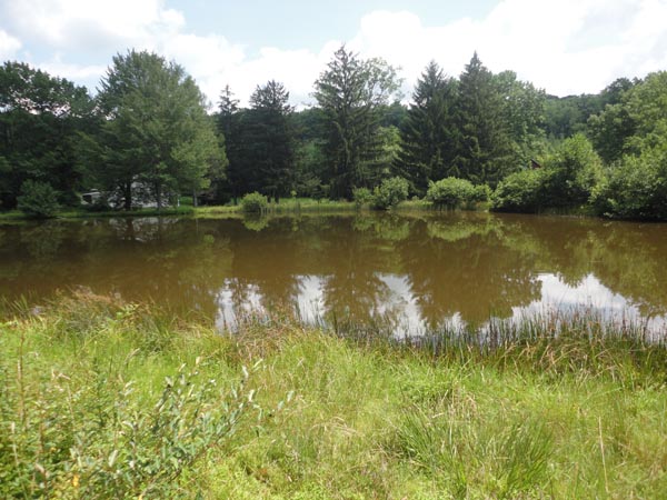
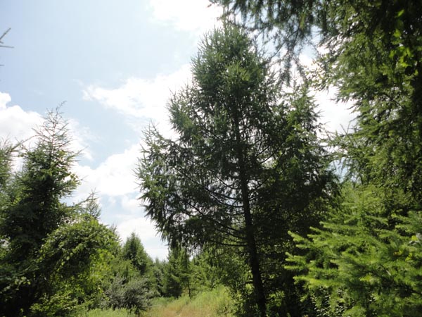
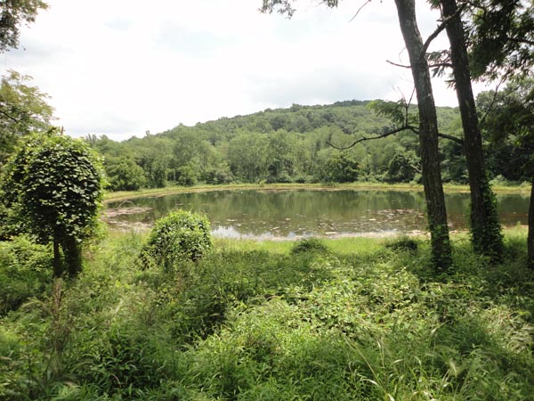
Trail Notes: Begin your trek by crossing Mt. Hope Road and walking over the steel grate bridge that crosses pretty Tom�s Creek. Turn right where a series of four boulders block an overgrown trail. Trail conditions improve very shortly upon entering the woods. The trail veers away from the creek to merge with another logging road in 0.2 miles. Two trails come in from the left in another 0.1 and then in just a few more steps. Ignore them to complete the loop as described. In another 0.2 miles you�ll find yourself walking down a gas line right of way. Look for the continuation of the woods road on the left. It will look like a narrow lawn through the woods in the summertime or a hayfield in the winter due to the presence of the ever invasive Japanese Stilt Grass. The trail descends for 0.2 miles where it crosses Copper Run. Immediately turn left and cross it again. Pass another woods road on the left in another 0.2 miles and cross the stream on a culvert. A road that crosses the stream to parallel it on the opposite bank will be passed in another 0.4 miles. I�ve not explored it yet but it might keep you in closer contact with the stream if it is navigable. This hike by-passes it. Pass another road, this one on the right, that leads to Culp�s Ridge in another 0.3 miles. In another 0.4 miles arrive at an open road intersection. The trail on the right leads to the Strawberry Hill Preserve. Continue straight, soon arriving at a �T� intersection. To the right you might see an old barn, clearly visible in the winter but nearly covered in green foliage in the summer. Turn left and look for a swath mowed through the high brush on your left that leads to pond #1. Continue up the hill passing trails on both the right and left before passing a well maintained cabin on the left. Follow a gravel road out to Mt. Hope Road and turn left onto it. Follow the road until you reach a wooden forest sign and turn right onto a wide and grassy woods road. Turn left at a fork in 0.1 miles. I call this Raspberry Alley. If you hike it in mid-July you�ll know why. For the next 0.3 miles you�ll not only pass the world�s largest concentration of lushes berries but a very nice pine plantation. You�ll want to turn left at the next trail junction but first check out the out of place tract of spruce to the left. |
|
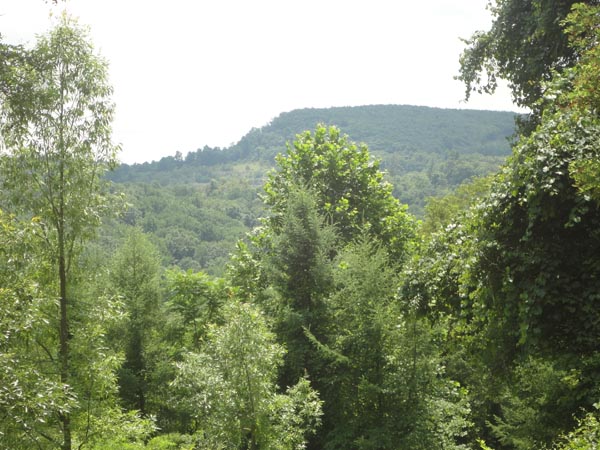
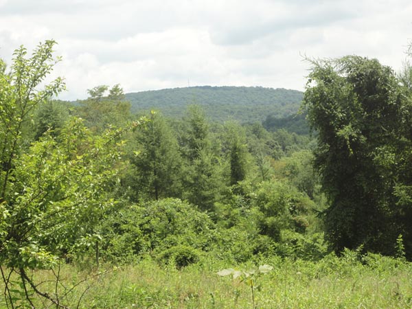
In 0.2 miles turn left at the next trail junction. (Going straight takes you right back to Mt. Hope Road!) and in another 0.1 miles quickly pass two less traveled roads on the right. The trail then descends gradually for 0.5 miles to another intersection. A left turn leads you to pond #2. After visiting the pond continue on your original track. In 0.3 miles reach a triangle intersection. Bear right onto a double track gravel road. I believe this to be Kepner Knob Road. In 0.2 miles turn left onto another grassy road. Here the canopy opens up and provides a nice view of Culp�s Ridge to the east and of Pine Mountain to the south. Over the next 0.9 miles the trail will make two sharp turns, the last depositing you into a large open meadow. To its right you should pick up the continuation of the woods road as it first passes pond #3 and then crosses Tom�s Creek which is usually a rock hop ford. Turn left onto Gum Springs Road and hike the grassy shoulder arriving back at your vehicle in 0.3 miles.
________________________________________
________________________________________ |
|
|