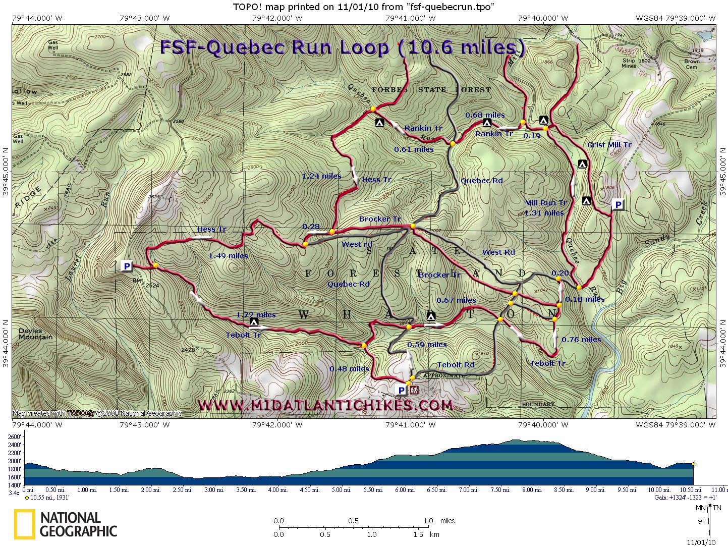
| Quebec Run Loop |
|
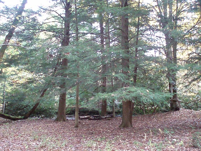
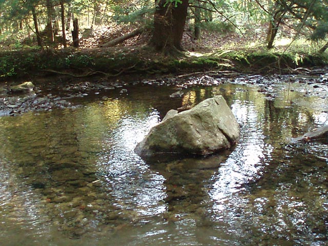
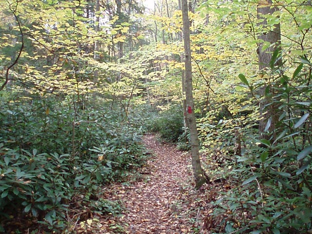
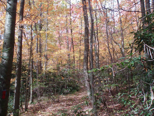
Description: 7,441 acre Quebec Run Wild Area is located in the southern portion of Forbes State Forest on the eastern flank of Chestnut Ridge. The forest along the hills is typical eastern hardwood while the stream bottoms are filled with groves of large hemlocks, each seeming to support a nice campsite. The streams, although not large, are pleasant to hike along. Described here is a moderate 10.6 mile day hike that might also work well as a quick fix overnight get away. The trailhead is on old gravel Quebec Road off of Wirsing Road. |
|
________________________________________ |
Zipped National Geographic TOPO! GPS and Universal GPX Files |
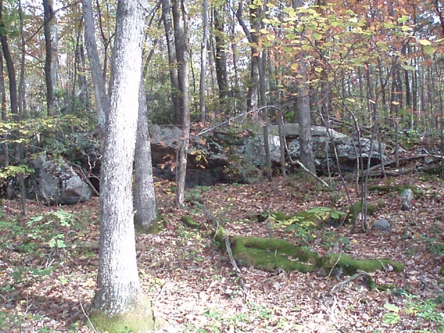
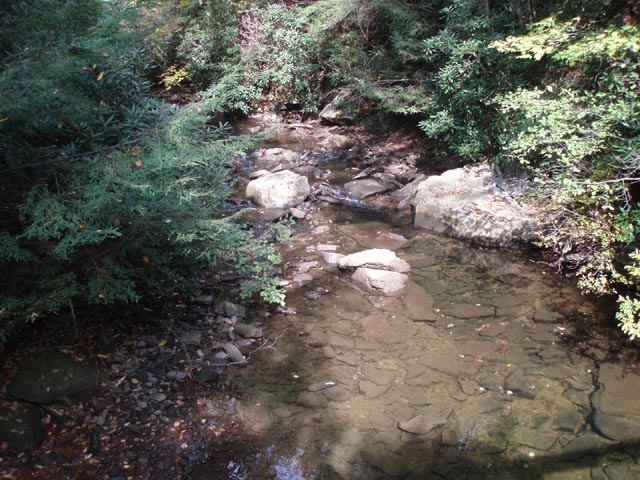
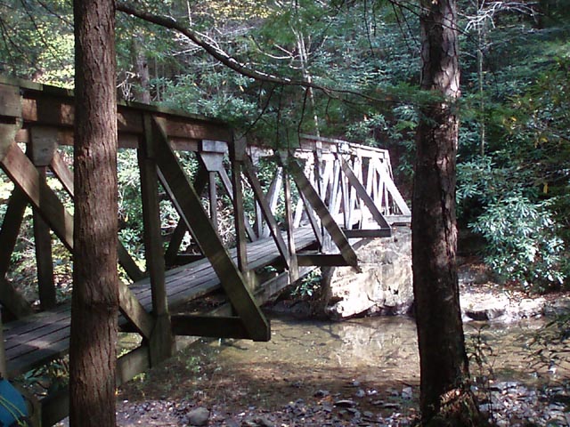
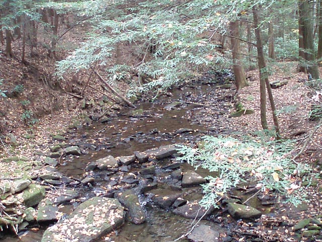
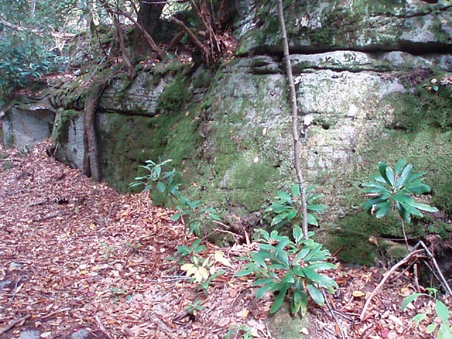
Trail Notes: All trails are blazed red. From the parking area, walk around the forest gate and proceed down Quebec Road. In 0.59 miles cross Tebolt Run and turn right onto the trail by the same name. The trail follows the run for a bit but eventually veers away from it. Cross Tebolt Road in 0.67 miles from joining the trail. In another 0.76 miles cross a grassy road and then pass the junction with the Brocker Trail on the left. In 0.18 more miles turn right onto West Road. In another 0.20 miles the trail swings left and climbs over a hill above Quebec Run before descending to it. At this point (though we saw no signs) you are now on Mill Run Trail. Over the next 1.31 miles you will pass several nice campsites. Arrive at a bridge to the right that connects to the Grist Mill Trail. Continue on Mill Run Trail Crossing Quebec Run on a bridge and passing even more campsites. In 0.19 miles turn left onto the Rankin Trail. All stream crossings on this run will be on bridges. In 0.68 miles cross Quebec Road again and climb to a railroad grade. In 0.61 more miles the Hess Trail comes down to join the path from the right. Just before this, and to the left along the stream is a secluded campsite. As you continue on you are now on the Hess trail. It crosses the run on a bridge and begins a climb up and over a ridge to pass Brocker Trail on the left in another 1.24 miles and then 0.28 more miles pass West Road. The trail will cross two forks of Tebolt Run before turning left along it. |
|
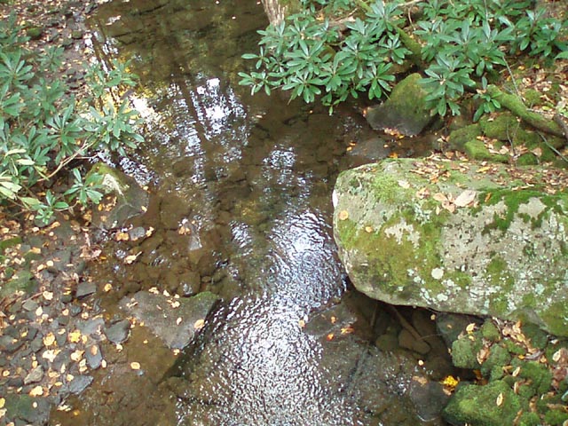
In 1.49 miles from the West Road junction pass a parking lot spur on the right. You are now on Tebolt Run Trail. As you follow the grade cross the run via a rock hop and pass through another nice camping area under the hemlocks. In 1.72 miles from the previous parking spur make a sharp right onto your parking spur. Be on the watch for a sharp left turn with red blazes. (If you miss this you will find yourself on a private property boundary on the right and will have to bushwhack out to Wirsing Road.) Cross the stream a final time and climb up a hill to your vehicle.
________________________________________
________________________________________ Outing Critiques
Name: Dave and Diane Hike: Quebec Run Date: 07/09-10-2011 Rating: 4
Using
the map, mileages, and trail description from your "MidAtlanticHikes"
webpage made it easy. We had never been there before so
we just followed your suggested hike route. We're glad
you mentioned the secluded campsite where the Hess
________________________________________ ________________________________________
Name:
Gregory St. Clair
Hike: Quebec Run Loop ________________________________________ |
|
|