| Quebec Run Backpack |
|
|
Description: For more information on the Quebec Run Wild Area see the Quebec Run Loop hike on this site.
I tweaked the aforementioned hike by changing the start point of the hike and adding the northern section of the Hess Trail and the Miller Trail while removing the Rankin Trail. These changes were made to relocate the beautiful campsites along Quebec Run closer to the mid-point of the hike. The overall distance is increased by a mile and the elevation gain increases by 400 feet. |
|
________________________________________ |
|
Zipped National Geographic TOPO! GPS and Universal GPX Files |
Trail Notes: All trails are blazed red. Trails I have yet to hike are shown as yellow on the map and are approximations. All trail junctions are signed.
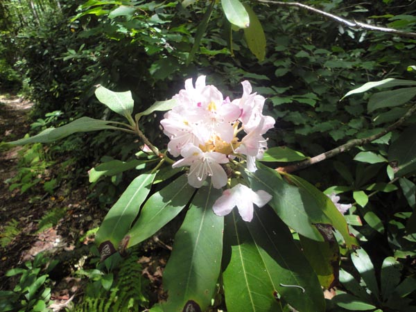
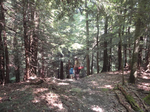
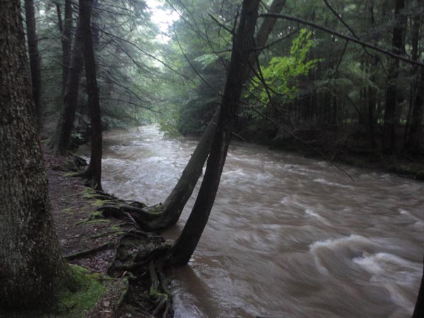
From the parking lot on Skyline Drive follow the spur trail to its intersection with the Hess and Tebolt Trails. Turn left onto the Tebolt Trail. Pass through mature hardwood forest as you gradually descend for 1.5 miles to the junction with West Road on the right and in another 0.3 miles Brocker Trail also on the right. From here the trail continues to descend for another 1.3 miles as it follows a small feeder stream. In mid-July you will become engulfed in blooming rhododendron before crossing Quebec Run for the first time on a stout bridge. Arrive at the junction with the Rankin Trail straight ahead soon after. Here you will find two nice campsites should you have the need to stop early. One is right at the trail junction, hidden under a grove of hemlocks while the other, also secluded, is about 200 to 300 yards down the Rankin Trail.
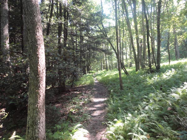
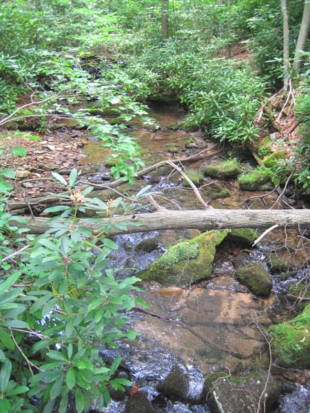
This hike has you turning left to stay on the Hess Trail, climbing about 600 feet over the next 1.5 miles as you hike through more beautiful forest with lush green ferns as an understory. Arrive at the northern parking lot. Cross it and pick up the Miller Trail. In 0.1 miles pass a sign for the Long Run Trail on the left. The trail plunges steeply over the next 1.0 miles through old growth hemlock ending at the junction of the Mill Run Trail and the stream by the same name. Turn right and in 0.2 miles cross Quebec Run on another stout bridge before arriving at the largest campsite in the venue next to a much larger bridge that links up with the Grist Mill Trail. If this site is taken continue on the Mill Run Trail for another 0.2 miles to yet another site under more giant hemlocks. There is a nice wading pool just upstream. At this point you have hiked 6.5 of the 11.7 miles.
To continue, follow the Mill Run Trail for 1.2 miles downstream. You will pass at least two more campsites before the trail turns right, away from the stream, to steeply climb up an eroded old woods road. In 0.2 miles turn left onto the Tebolt Trail. You will still climb slightly for a bit, passing Tebolt Road and Broker Trail on the right in 0.2 and 0.1 miles respectively, before the trail descends gradually into the Tebolt Run drainage. |
|
You will get a glimpse or two of the stream but for the most part this section of the trail stays high above it. Cross Tebolt Road again in 0.8 miles and then Quebec Road for the second time of the trip in another 0.7 miles. For the remainder of the hike you will either be hiking in rhododendron tunnels and/or hemlock groves. Over the next 0.4 miles the trail zig-zags a bit, crossing a pretty tributary on another bridge, before straightening out on an old railroad grade where you will pass a spur for the southern parking area on Wirsing Road in 0.4 miles. For the next 1.8 miles the trail closely follows the stream, crossing it twice. Part way between the last crossing and the end of the hike is yet another wonderful campsite. Turn left onto the west parking lot spur and follow your original steps back to your awaiting vehicle.
________________________________________
________________________________________
Name: Chris Hike: Quebec Run Backpack Date: 03/21/15 Rating: 4
Critique:
Did
this hike as a early season warm-up, gotta get out again starter
hike. I packed up for an over-nighter, but ended up just doing
it as a day hike for various reasons.
________________________________________ |
|
|