|
King's Gap Environmental Center Circuit |
|
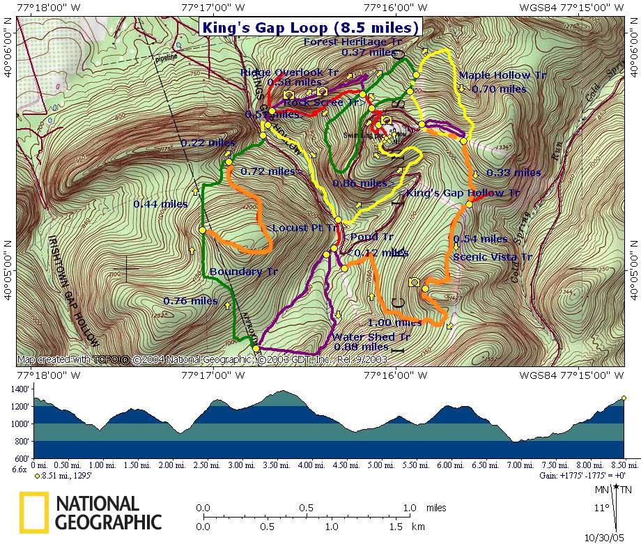
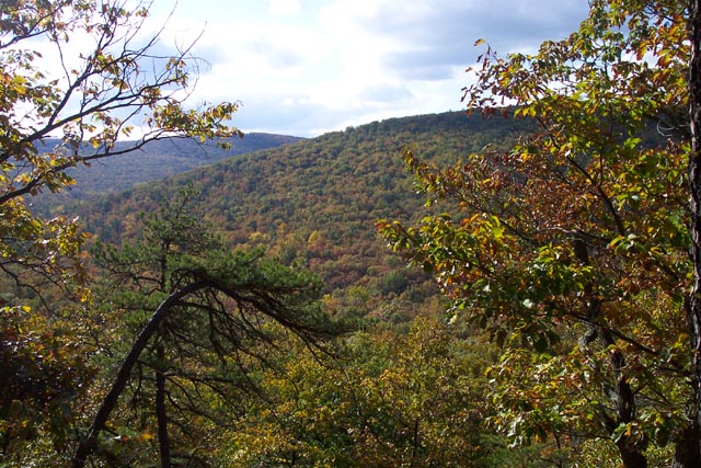
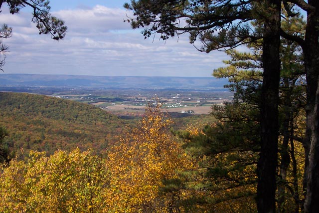
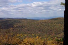
Description: This is a fairly moderate 8.5 mile circuit hike. If it weren�t for a few long, gradual hills, especially the one at the end, this hike might be classified as easy. It features 3 pastoral views of the surrounding farmland. All stream crossings, even the smallest, are accomplished via foot bridges.
King�s
King�s Gap is a great place to visit when the days are short and/or when you wish to introduce others who are in reasonably good shape to the hiking experience.
Turn onto King�s
|
| _______________________________________ |
Zipped National Geographic. TOPO! GPS and Universal GPX Files |
Trail
Notes: All trails are blazed and signed at intersections. The
colors on the map shown here coincide with those on the trail. I am
not sure if the Pond Tr (not used in this loop) is blazed.
From the visitor�s
center walk over to the Mansion. The hike starts at the kiosk to its
left but you might want to check out the view from the mansion�s
rear veranda before you start.
From the kiosk follow
the red blazed Rock Scree Trail. Cross the park road, 2
intersections of green blazed Forest Heritage Trail and the east
junction with the purple blazed Ridge Overlook Trail. Stay on Red
blazed Rock Scree Trail. At 0.69 miles from the beginning arrive at
the west junction of purple blazed Ridge Overlook Trail. Turn right
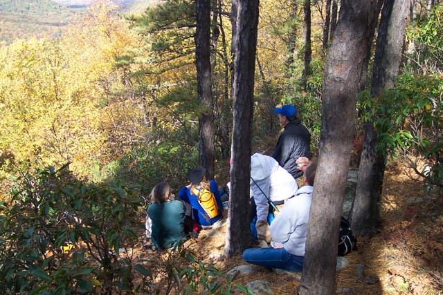
onto the Overlook trail and climb to a rock formation about 0.3
miles from the trail junction. Signs indicate the overlook.
Proceed another 0.3
miles to the east junction of the Rock Scree Trail heading
back towards the mansion. In a few steps turn left onto green blazed
Forest Heritage Trail.
In 0.4 miles come to the junction with yellow blazed Maple Hollow Trail. Follow the Maple Hollow Trail, descending at first but then climbing to the intersection with orange blazed Scenic Vista Trail. Following the blazed swath to the right takes you back to the center of the park. Proceed across the swath to pick up the footpath (I call this a zig-zag intersection.).
|
|
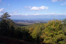
At 0.54 miles from the swath arrive at a scenic overlook of the gap complete with benches, a great lunch spot. After lunch, continue along the Scenic Vista Trail and in 1.0 miles from the overlook descend to a picnic area and covered amphitheatre. There are rest rooms here.
Cross a driveway to a kiosk and follow the purple blazed Water Shed Trail. The trail will go downhill until it comes to a stream and then turn upstream. The trail then splits (It actually is in itself a small loop trail.). To complete the entire length of the circuit as described take the left fork. To shorten the hike a little bear right.
At the top of the
Water Shed
At 0.22 miles from the last Locust Pt Tr junction cross the park entrance drive and come to yellow blazed King�s Gap Hollow Trail. Cross the stream on a footbridge. Turn right and follow the yellow blazes back to the starting point (1.44 miles). You�ll pass the eastern terminus of purple blazed Ridge Overlook Trail on your left and cross the park drive again before the final climb. Printable/Downloadable Directions and Trail Notes Critique this outing! ________________________________________
________________________________________
Name: Ed S. Hike: Kings Gap Date: 06/01/14 Rating: 3.8
Critique: I made a variant starting from the pine plantation, perhaps a mistake as that area was rather buggy. It's a nice area, but there are plenty of better hikes in the greater Michaux area, and thus the lower rating. Most of the overlooks, except for at the mansion and Ridge, are all somewhat grown over. The mountain laurel was starting to bloom, and the ornamental Catawba Rhododendrons around the mansion were in full bloom; as were assorted flowers in the garden. Its lily pond had plenty of frogs plus some blooming lilies. The mansion was open, so I took a quick trek inside. (The photo is the fireplace mantle.) A bluegrass band was performing on the lawn outside, mostly Stanley Brothers covers. With the exceptions of the mansion area and the Scenic Vista Trail, few people were out on the trails.
________________________________________
Name: Danny H
Hike: King's Gap ________________________________________
Name: Footloose
Hike:
Kings Gap ________________________________________ |
|
|