|
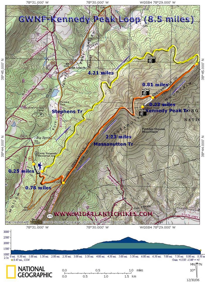
Kennedy Peak
|
|
|
Description: If you are a
�Sweeping View� kind of hiker and you find yourself with a free
clear weather day this one is for you. This is a moderate 8.5 mile
(9.0 if starting from
Trailhead parking is up a signed gravel road. To start the hike at
|
|
Note: The last turn off of U.S. 211 is signed Crismon Hollow Road. This road is often closed in the winter. ______________________________________ |
Zipped National Geographic. TOPO! GPS and Universal GPX Files |
Trail
Notes: Starting from the restrooms in the picnic area, follow a
footpath out to RT675. Turn left (uphill). Pass the dump station and
Massanutten southbound trailhead on the right.
Turn left onto the
gravel road. Pass the orange blazed Massanutten Trail on the right
(your return route). Walk through the large gravel parking lot and
find the trailhead for yellow blazed Stephen�s Trail. Stephen�s
Trail parallels the ridge, climbing up and down gentle hills and in
and out of small coves.
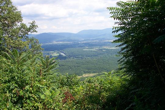
Just before you begin
a steep climb through a series of switchbacks you will obtain a view
of the western ridge to the left. At 4.21 miles from the trailhead
reach the intersection of orange blazed Massanutten Trail. Turn
right here.
At 0.81 miles from the
Last trail intersection arrive at white blazed Kennedy Peak Trail.
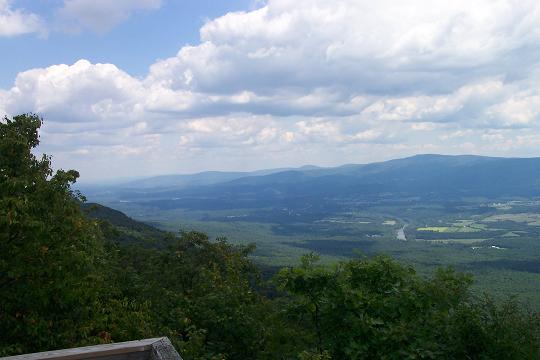
Climb steeply for 0.23 miles up a rocky trail to the ruins of an old
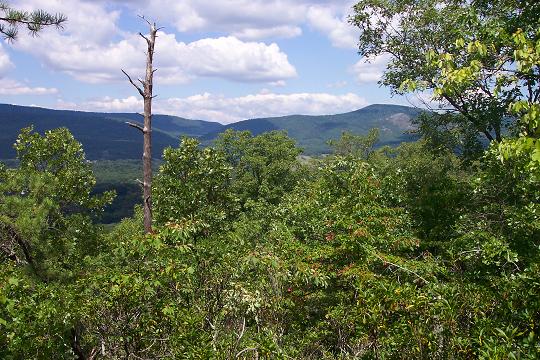
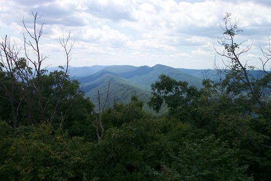
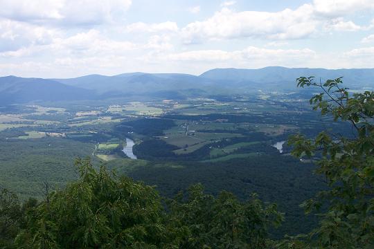
fire tower. Climb to the top for a great view of the surrounding
valley and the
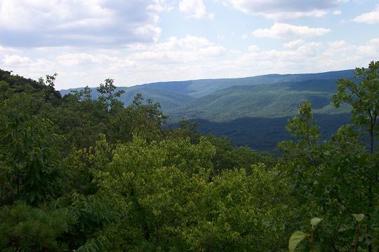
Return to the
Massanutten Trail and turn left. There are more partial views of
In about 0.78 miles
arrive back at the gravel parking area. Retrace your steps to the
picnic area. Printable/Downloadable Directions and Trail Notes |
|
________________________________________
________________________________________ Outing Critiques
Name: Rexpit
Hike: Kennedy peak ________________________________________ |
|
|