
|
Comers Creek Falls Loop |
|
|
Description: When hikers think of Mount Rogers N.R.A. images of vast balds with sweeping views, rocky Wilburn Ridge, Grayson Highlands, fields and tunnels of blooming Catawba Rhododendron, wild ponies and pretty streams like Wilson Creek fill there heads. And so it should be. It is considered by many Mid-Atlantic hikers to be a lifetime goal. I know it was for me.
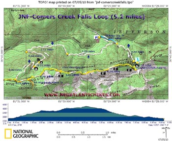
But there is so much more to be enjoyed after exploring this relatively small parcel of the N.R.A. After trekking through what has often become a �Hiker�s Highway� consider exploring the areas directly to the north and west, places with names like Iron, Straight and Hurricane Mountain, Rowland Creek with its waterfalls and cascades, Chestnut Flats and Beartree Gap. Described here is a moderate 9.2 mile trek with about 2000 feet of elevation gain featuring nice waterfalls, vistas and Rhododendron tunnels. |
|
Google Maps Custom Driving Directions The Dickeys Gap Trailhead is directly across from the entrance to the Hurricane Campground, on the corner. ________________________________________ |
|
Zipped National Geographic. TOPO! GPS and Universal GPX Files |
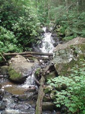
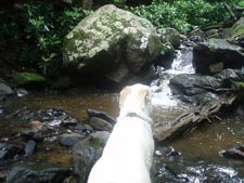
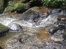
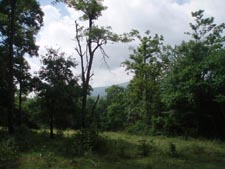
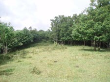
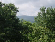
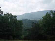
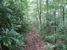
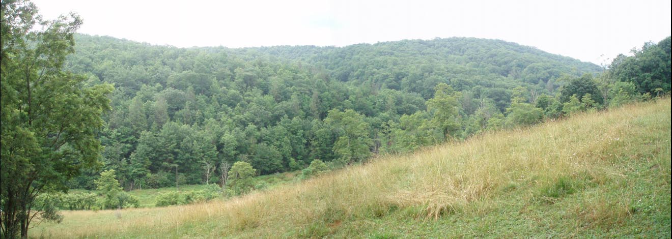
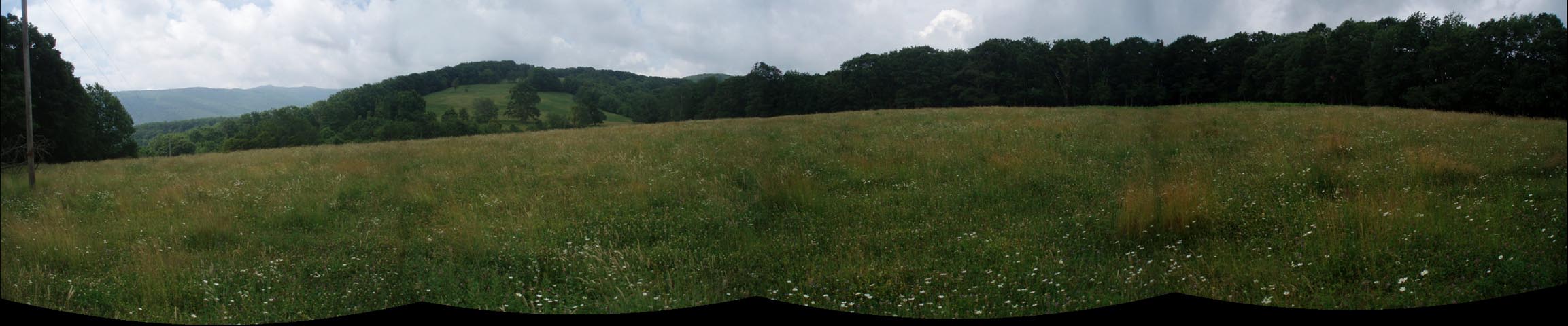
Trail Notes: Follow the blue blazed Dickey Gap trail for 0.42 miles to its terminus on the AT. Turn left onto the AT and continue to climb. You�ll be able to hear the creek rushing way below you but out of sight. In 0.66 miles the trail splits. Bear left to stay on the AT and soon arrive at a bridge and the name sake falls. After taking in the view return to the last trail junction and turn left onto the unsigned but blue blazed Comers Creek Falls trail. In another 0.23 miles, just after passing a sweet campsite bracketed by two small waterfalls, turn right onto the yellow blazed Iron Mountain trail. Switchback to the ridgeline of Hurricane Mountain and pass through a style to a Cold Mountain-esque view of Pine Mountain (home of Mount Rogers, the highest point in VA). Watch out for the many cow pies as you follow the edge of the pasture and pass through another style. (You will pass through 2 more during the ridge walk.) Over the next 1.24 miles you will have several views over small trees of Tennessee Ridge as well as Pine Mountain and possibly some cattle all around you. After passing through the last style turn right onto an old forest road. In 0.63 miles from the last style pass under a power line. Be sure to walk out into the field to the left, at least for two poles, for a nice pastoral view with Pine Mountain as a partial backdrop. Return to the road and continue west. Before the road curves to the left and ends at a gate bear right onto a footpath. In another 0.80 miles the orange diamond blazed VA Highland Horse Trail comes in from the left. The next 0.29 miles can be very sloppy for obvious reasons. |
|
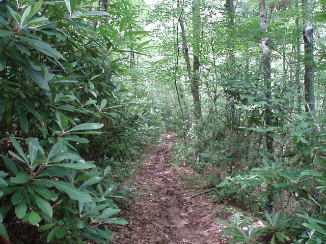
Arrive at a small clearing called Chestnut Flats and turn right onto the AT. Initially the trail gradually descends on a narrow ridge but then rapidly switchbacks down to an old haul road that parallels a hidden stream. Both you and the stream will be engulfed in giant Rhododendron and Hemlock. In 0.82 miles from rejoining the AT pass a nice campsite next to the stream and yet another in another 0.17 miles. Here, on the left, is also a spur trail that leads to the recently constructed Hurricane shelter. The trail will follow the stream a bit more before curving to the left, away from it, and becoming an old forest road. In 0.63 miles from the shelter spur the road continues as the Hurricane trail out to FR 84 but you want to turn sharply right onto a footpath to stay on the AT. The rest of the trail is mostly a nice side-hill experience, crossing the same stream you had been following earlier. In 1.11 miles from the Hurricane trail cross the same power line you crossed while ridge walking earlier and in another 1.29 miles find yourself back at the junction with the Dickey Gap trail. Turn left and retrace the initial 0.42 miles back to your vehicle. ________________________________________
________________________________________ |
|
|