
|
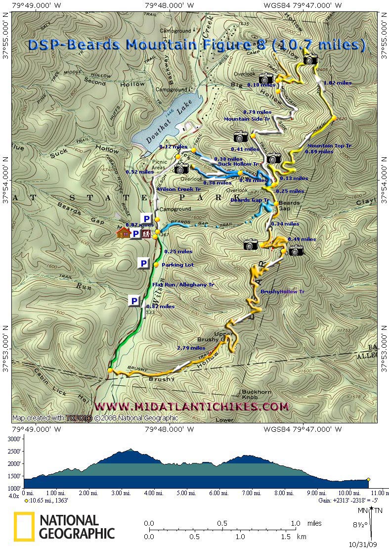
Douthat State Park-Beards Mountain Figure Eight |
|
|
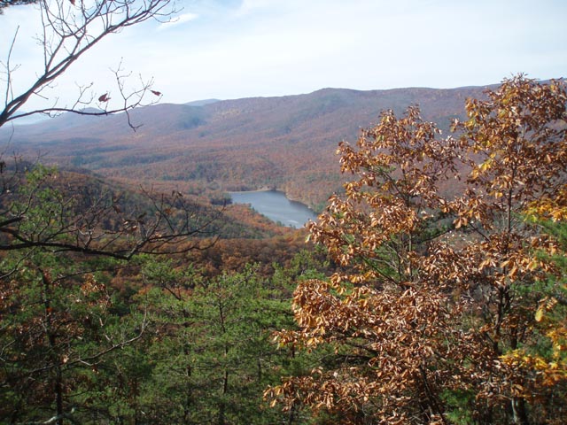
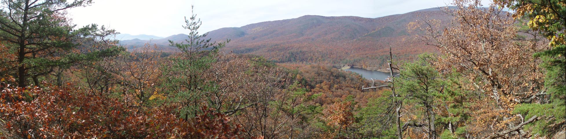
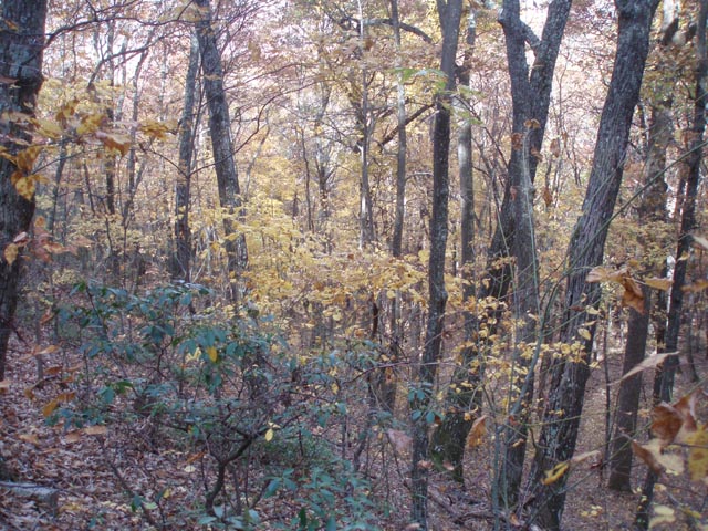
Description: Douthat (pronounced DOW-thut) State Park is the oldest State Park in the Old Dominion, constructed by the CCC in 1936. We�ve driven by the exit for it on I-64 many times on our way to and from the Cranberry Wilderness, Lake Sherwood and New River National River Park in WV. We drove through the campgrounds once just to check them out about eight years ago than thought nothing about it. Then a friend sent me a set of Leonard Adkins� �50 Hikes in �. VA� books. One contained the descriptions of two hikes within the park. The same friend explored these hikes last year and rated them highly. This year I decided it was time for us to visit them. Described here is a 10.7 mile figure 8 circuit with 2300 feet of elevation gain with some great views of the park and Cowpasture Valley. You can change the route and length of the trek to fit your preferences. Cut off one of the lobes of the figure 8 or use the Beard�s Gap Trail to greatly shorten your return to the Visitor Center. We recommend you take the park map with you since we do not show all of the trails here. |
|
Google Maps Custom Driving Directions
The hike starts at the Visitor Center parking lot. For more Douthat hiking see the Middle Mountain Loop. ________________________________________ |
|
Zipped National Geographic. TOPO! GPS and Universal GPX Files GPS Text File for Non-TOPO! Users
|
Trail Notes: Nearly every trail junction is signed and all trails are blazed.
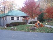
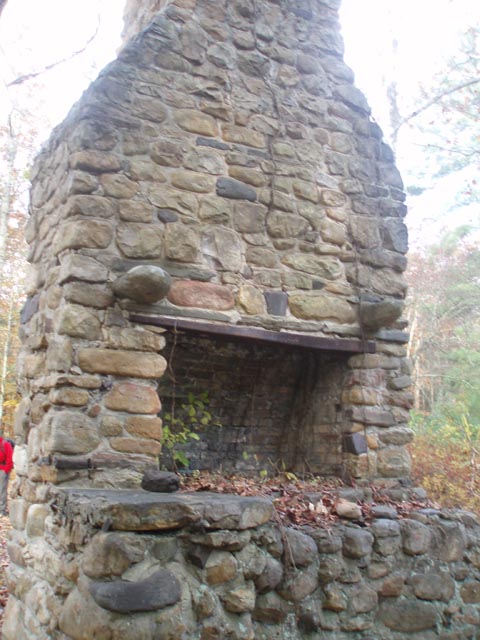
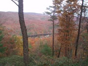
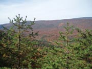
From the Visitor Center walk north on its driveway then cross some lawns in front of some park buildings to a large chimney and parking lot. The trailhead for the white blazed Wilson Creek Trail is in the back, left hand corner. Follow it. In 0.52 miles from the chimney, cross a service road on a diagonal. In another 0.12 miles a spur trail comes in from the left. Bear right crossing a part-time stream on a small footbridge. Immediately turn right onto the blue blazed Buck Hollow Trail and begin a gradual climb. In 0.38 miles make a sharp right turn onto a spur trail that leads to a view of the lake in 0.30 miles. Return to the Buck Hollow Trail and continue up it. Just as you think the grade is going to increase turn left and begin switchbacking up the mountain. Arrive at the apex of the figure 8 in 0.48 miles from the overlook spur. Turn left onto the yellow blazed Mountain Top Trail, passing the Mountain Side Trail on the left. (This is the return leg of the northern lobe of the figure 8.) In 0.13 miles reach a view of the park. Continue climbing to the crest of the ridge and enjoy a short section of nearly flat hiking. In 0.89 miles from the last view reach the boundary with the George Washington National Forest (GWNF). The trail makes an abrupt left turn here and descends for 1.82 miles to the junction of the white blazed Mountain Side Trail on the left and the orange blazed Ross Camp Trail on the right, passing a sweeping view of the valley and lake near a sharp switchback. Turn left onto the Mountain Side trail. In another 0.10 miles keep an eye out for another vista. The Mountain Side trail is pretty wide and flat so you should make good time on this section. In 0.79 miles from the last view pass yet another one. In another 0.41 miles arrive back at the apex of the figure 8.
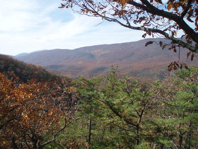
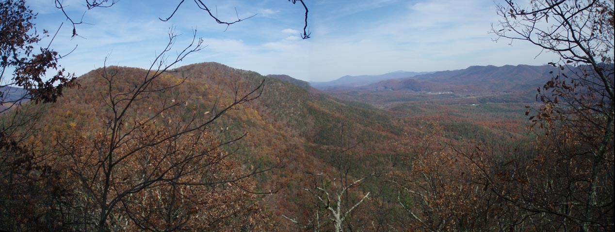
Continue south on the Mountain Top Trail and in 0.25 mils pass through Beards Gap with a kiosk and bench on the left and the blue blazed Beards Gap Trail on the right. Begin your final climb of the day on the orange blazed Brushy Gap Trail. In 0.34 miles pass another view of the park and switchback for 0.49 miles to an east facing vista looking into a pastoral valley formed millions of years ago by the Cowpasture River. From here the trail descends to Brushy Hollow via switchbacks where it straightens out. |
|
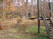
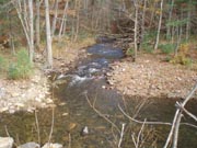
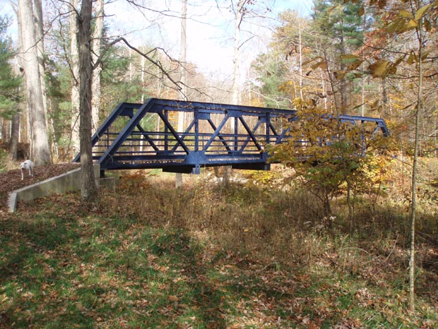
In 2.79 miles from the Cowpasture Vista arrive at Wilson Creek and an entertaining swinging bridge. Cross it and turn right onto an unblazed but obvious wide and grassy trail. This is the Alleghany Highlands Multiuse, Equestrian State Trail, also known as the Flat Run Trail. In 0.19 miles cross Stony Run on a blue metal and wood bridge (not shown on the map). Further up the trail you�ll pass what appears to be a confluence of a stream entering the creek on the opposite bank. This is actually a sizeable island in the creek itself. In 0.82 miles pass through a very large day use parking area and then what appears to be a service area with piles of mulch, gravel and steel I-beams used for bridge repair. In 0.25 miles from the parking lot the trail ends at the banks of Wilson Creek. Turn left here and follow it a very short distance to Rt 629. As you turn right onto it you can see the Visitor Center straight ahead. ________________________________________
________________________________________ |
|
|